Petaluma Bombing Target Archive Search Report ... - Corpsfuds.org
Petaluma Bombing Target Archive Search Report ... - Corpsfuds.org
Petaluma Bombing Target Archive Search Report ... - Corpsfuds.org
Create successful ePaper yourself
Turn your PDF publications into a flip-book with our unique Google optimized e-Paper software.
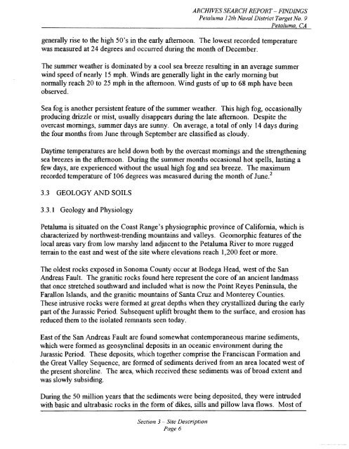
ARCHIVES SEARCH REPORT - FINDINGS<br />
<strong>Petaluma</strong> 12th Naval District <strong>Target</strong> No. 9<br />
<strong>Petaluma</strong>, CA<br />
generally rise to the high 50's in the early afternoon. The lowest recorded temperature<br />
was measured at 24 degrees and occurred during the month of December.<br />
The summer weather is dominated by a cool sea breeze resulting in an average summer<br />
wind speed of nearly 15 mph. Winds are generally light in the early morning but<br />
normally reach 20 to 25 mph in the afternoon. Wind gusts of up to 68 mph have been<br />
observed.<br />
Sea fog is another persistent feature of the summer weather. This high fog, occasionally<br />
producing drizzle or mist, usually disappears during the late afternoon. Despite the<br />
overcast mornings, summer days are sunny. On average, a total of only 14 days during<br />
the four months from June through September are classified as cloudy.<br />
Daytune temperatures are held down both by the overcast mornings and the strengthening<br />
sea breezes in the afternoon. During the summer months occasional hot spells, lasting a<br />
few days, are experienced without the usual high fog and sea breeze. The maximum<br />
recorded temperature of 106 degrees was measured during the month of ~ une.~<br />
3.3 GEOLOGYANDSOILS<br />
3.3.1 Geology and Physiology<br />
<strong>Petaluma</strong> is situated on the Coast Range's physiographic province of California, which is<br />
characterized by northwest-trending mountains and valleys. Geomorphic features of the<br />
local areas vary from low marshy land adjacent to the <strong>Petaluma</strong> River to more rugged<br />
terrain to the east and west of the site where elevations reach 1,200 feet or more.<br />
The oldest rocks exposed in Sonoma County occur at Bodega Head, west of the San<br />
Andreas Fault. The granitic rocks found here represent the core of an ancient landmass<br />
that once stretched southward and included what is now the Point Reyes Peninsula, the<br />
Farallon Islands, and the granitic mountains of Santa Cruz and Monterey Counties.<br />
These intrusive rocks were formed at great depths when they crystallized during the early<br />
part of the Jurassic Period. Subsequent uplift brought them to the surface, and erosion has<br />
reduced them to the isolated remnants seen today.<br />
East of the San Andreas Fault are found somewhat contemporaneous marine sediments,<br />
which were formed as geosynclinal deposits in an oceanic environment during the<br />
Jurassic Period. These deposits, which together comprise the Franciscan Formation and<br />
the Great Valley Sequence, are formed of sediments derived from an area located west of<br />
the present shoreline. The area, which received these sediments was of broad extent and<br />
was slowly subsiding.<br />
During the 50 million years that the sediments were being deposited, they were intruded<br />
with basic and ultrabasic rocks in the form of dikes, sills and pillow lava flows. Most of<br />
Section 3 - Site Description<br />
Page 6


