Petaluma Bombing Target Archive Search Report ... - Corpsfuds.org
Petaluma Bombing Target Archive Search Report ... - Corpsfuds.org
Petaluma Bombing Target Archive Search Report ... - Corpsfuds.org
You also want an ePaper? Increase the reach of your titles
YUMPU automatically turns print PDFs into web optimized ePapers that Google loves.
ARCHIVES SEARCH REPORT - FINDINGS<br />
<strong>Petaluma</strong> 12th Naval District <strong>Target</strong> No. 9<br />
<strong>Petaluma</strong>, CA<br />
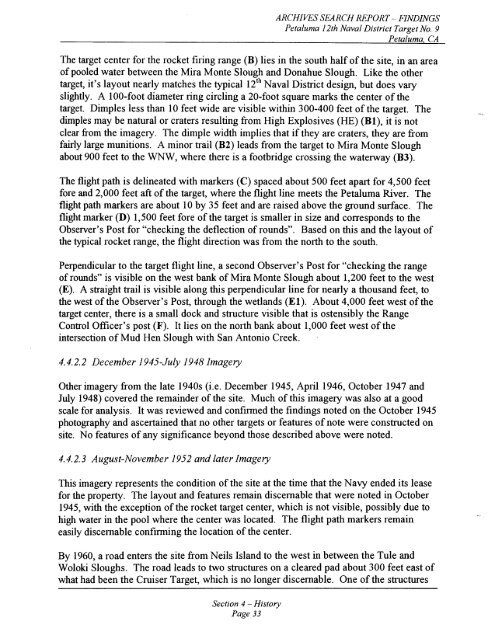
The target center for the rocket firing range (B) lies in the south half of the site, in an area<br />
of pooled water between the Mira Monte Slough and Donahue Slough. Like the other<br />
target, it's layout nearly matches the typical 12'~ Naval District design, but does vary<br />
slightly. A 100-foot diameter ring circling a 20-foot square marks the center of the<br />
target. Dimples less than 10 feet wide are visible within 300-400 feet of the target. The<br />
dimples may be natural or craters resulting from High Explosives (HE) (Bl), it is not<br />
clear from the imagery. The dimple width implies that if they are craters, they are fiom<br />
fairly large munitions. A minor trail (B2) leads from the target to Mira Monte Slough<br />
about 900 feet to the WNW, where there is a footbridge crossing the waterway (B3).<br />
The flight path is delineated with markers (C) spaced about 500 feet apart for 4,500 feet<br />
fore and 2,000 feet aft of the target, where the flight line meets the <strong>Petaluma</strong> River. The<br />
flight path markers are about 10 by 35 feet and are raised above the ground surface. The<br />
flight marker (D) 1,500 feet fore of the target is smaller in size and corresponds to the<br />
Observer's Post for "checking the deflection of rounds". Based on this and the layout of<br />
the typical rocket range, the flight direction was from the north to the south.<br />
Perpendicular to the target flight line, a second Observer's Post for "checking the range<br />
of rounds" is visible on the west bank of Mira Monte Slough about 1,200 feet to the west<br />
(E). A straight trail is visible along this perpendicular line for nearly a thousand feet, to<br />
the west of the Observer's Post, through the wetlands (El). About 4,000 feet west of the<br />
target center, there is a small dock and structure visible that is ostensibly the Range<br />
Control Officer's post (F). It lies on the north bank about 1,000 feet west of the<br />
intersection of Mud Hen Slough with San Antonio Creek.<br />
4.4.2.2 December 1945-July 1948 Imagery<br />
Other imagery fiom the late 1940s (i.e. December 1945, April 1946, October 1947 and<br />
July 1948) covered the remainder of the site. Much of this imagery was also at a good<br />
scale for analysis. It was reviewed and confirmed the findings noted on the October 1945<br />
photography and ascertained that no other targets or features of note were constructed on<br />
site. No features of any significance beyond those described above were noted.<br />
4.4.2.3 August-November 1952 and later Imagery<br />
This imagery represents the condition of the site at the time that the Navy ended its lease<br />
for the property. The layout and features remain discernable that were noted in October<br />
1945, with the exception of the rocket target center, which is not visible, possibly due to<br />
high water in the pool where the center was located. The flight path markers remain<br />
easily discernable confirming the location of the center.<br />
By 1960, a road enters the site from Neils Island to the west in between the Tule and<br />
Woloki Sloughs. The road leads to two structures on a cleared pad about 300 feet east of<br />
what had been the Cruiser <strong>Target</strong>, which is no longer discernable. One of the structures<br />
Section 4 - History<br />
Page 33


