Tropical Cyclone Report - National Hurricane Center - NOAA
Tropical Cyclone Report - National Hurricane Center - NOAA
Tropical Cyclone Report - National Hurricane Center - NOAA

Create successful ePaper yourself
Turn your PDF publications into a flip-book with our unique Google optimized e-Paper software.
developed inner core and the first hints of an eye just before Isaac made landfall on the southern<br />
coast of Haiti near the city of Jacmel around 0600 UTC 25 August.<br />
The center of Isaac quickly traversed the narrow southwestern peninsula of Haiti, and the<br />
cyclone weakened slightly when the circulation interacted with the mountainous terrain of<br />
Hispaniola. Isaac continued northwestward over the Gulf of Gonâve during the early morning<br />
hours of 25 August and moved just south of the Windward Passage, making landfall along the<br />
southeastern coast of Cuba near Cajobabo, Guantánamo, around 1500 UTC with maximum<br />
winds of 50 kt. The center emerged from the northern coast of Cuba into the Atlantic near<br />
Rafael Freyre, Holguín, around 2015 UTC. Isaac grew in size during its passage across Haiti<br />
and Cuba, with tropical-storm-force winds extending up to 180 n mi to the north of the center<br />
across the Turks and Caicos Islands and most of the Bahamas.<br />
After emerging over the Atlantic, Isaac turned west-northwestward and moved faster on<br />
26 August between a large deep-layer low over the northwestern Caribbean Sea and a midtropospheric<br />
ridge over the western Atlantic. Isaac had maximum sustained winds of 50 kt while<br />
the center moved parallel to the northern coast of Cuba toward the Straits of Florida, passing<br />
south of the Florida Keys later in the day. <strong>Tropical</strong>-storm-force winds, especially in gusts,<br />
affected the Florida Keys and South Florida in rain bands that moved across the area for much of<br />
the day.<br />
Isaac entered the southeastern Gulf of Mexico early on 27 August, moving more slowly<br />
toward the west-northwest and northwest as it reached the southwestern periphery of the<br />
subtropical ridge. The wind field remained large, and microwave data indicated that deep<br />
convection became more organized in a ring around the center of circulation. Isaac gradually<br />
strengthened while moving across the Gulf of Mexico and became a hurricane around 1200 UTC<br />
28 August while centered about 75 n mi southeast of the mouth of the Mississippi River. A midlevel<br />
blocking ridge to the northwest of the hurricane caused Isaac to slow down considerably<br />
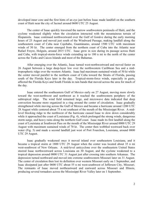
while it approached the coast of Louisiana (Fig. 4), which prolonged the strong winds, dangerous<br />
storm surge, and heavy rains along the northern Gulf coast. Isaac made its first landfall along the<br />
coast of Louisiana at Southwest Pass on the mouth of the Mississippi River around 0000 UTC 29<br />
August with maximum sustained winds of 70 kt. The center then wobbled westward back over<br />
water (Fig. 5) and made a second landfall just west of Port Fourchon, Louisiana, around 0800<br />
UTC 29 August.<br />
Isaac gradually weakened once it moved inland over southeastern Louisiana, and it<br />
became a tropical storm at 1800 UTC 29 August when the center was located about 35 n mi<br />
west-southwest of New Orleans. A mid-level anticyclone over the southeastern United States<br />
steered Isaac northwestward across Louisiana on 30 August, and the cyclone weakened to a<br />
tropical depression around 0000 UTC 31 August just after crossing into southern Arkansas. The<br />
depression turned northward and moved into extreme southwestern Missouri later on 31 August.<br />
The center of circulation then lost its definition over western Missouri early on 1 September, and<br />
Isaac dissipated just after 0600 UTC about 55 n mi west-southwest of Jefferson City, Missouri.<br />
The remnants of Isaac moved northeastward and eastward across Missouri and Illinois,<br />
producing several tornadoes across the Mississippi River Valley later on 1 September.<br />
2