DARLING RIVERINE PLAINS BIOREGION Background Report
DARLING RIVERINE PLAINS BIOREGION Background Report
DARLING RIVERINE PLAINS BIOREGION Background Report
Create successful ePaper yourself
Turn your PDF publications into a flip-book with our unique Google optimized e-Paper software.
16/08/02 Darling Riverine Plains Bioregion <strong>Background</strong> <strong>Report</strong><br />
around Moree since the construction of Copeton Dam, and there has been pressure to build<br />
another dam to allow for irrigation in the wetlands (Keyte 1994; NWCMC 1996).<br />
1.3.3 Land tenure and administrative boundaries<br />
Land tenure<br />
The current land tenure of the DRP is shown in Map 4.<br />
Crown lands<br />
The available data on Crown lands (Map 4) (from Crown Lands Information Database,<br />
DLWC) at the time of writing is not totally accurate because there is considerable spatial<br />
overlap between classifications and a lack of data verification and updated information in the<br />
database. There are also inconsistencies in the data with some, but not all classifications<br />
coinciding. Leasehold land within the occupies approximately 4 628 000 ha, 50% of the<br />
bioregion. Crown reserves include travelling stock reserves, transport corridors, National<br />
Parks, Nature Reserve and State Forests that cover an estimated 9.5% (879 350 ha) of the<br />
bioregion (Map 4).<br />
Freehold<br />
The remaining 40.5% (3 748 800 ha approximately) of the DRP is freehold land, located<br />
mainly in the south and east of the bioregion (Map 4).<br />
National Parks and Wildlife Service estate<br />
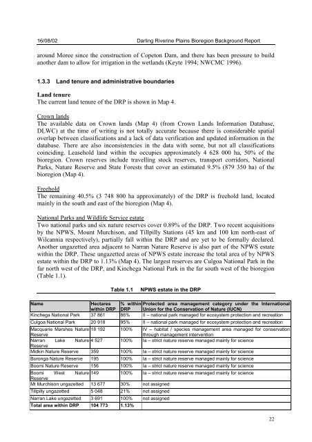
Two national parks and six nature reserves cover 0.89% of the DRP. Two recent acquisitions<br />
by the NPWS, Mount Murchison, and Tillpilly Stations (45 km and 100 km north-east of<br />
Wilcannia respectively), partially fall within the DRP and are yet to be formally declared.<br />
Another ungazetted area adjacent to Narran Nature Reserve is also part of the NPWS estate<br />
within the DRP. These ungazetted areas of NPWS estate increase the total area of by NPWS<br />
estate within the DRP to 1.13% (Map 4). The largest reserves are Culgoa National Park in the<br />
far north west of the DRP, and Kinchega National Park in the far south west of the bioregion<br />
(Table 1.1).<br />
Table 1.1 NPWS estate in the DRP<br />
Name Hectares % within Protected area management category under the International<br />
within DRP DRP Union for the Conservation of Nature (IUCN)<br />
Kinchega National Park 37 861 86% II – national park managed for ecosystem protection and recreation<br />
Culgoa National Park 20 918 95% II – national park managed for ecosystem protection and recreation<br />
Macquarie Marshes Nature 18 192 100% IV – habitat / species management area managed for conservation<br />
Reserve<br />
through management intervention<br />
Narran<br />
Reserve<br />
Lake Nature 4 527 100% Ia – strict nature reserve managed mainly for science<br />
Midkin Nature Reserve 359 100% Ia – strict nature reserve managed mainly for science<br />
Boronga Nature Reserve 195 100% Ia – strict nature reserve managed mainly for science<br />
Boomi Nature Reserve 156 100% Ia – strict nature reserve managed mainly for science<br />
Boomi<br />
Reserve<br />
West Nature 149 100% Ia – strict nature reserve managed mainly for science<br />
Mt Murchison ungazetted 13 677 30% not assigned<br />
Tillpilly ungazetted 5 048 21% not assigned<br />
Narran Lake ungazetted 3 691 100% not assigned<br />
Total area within DRP 104 773 1.13%<br />
22


