No. 94-08-19 - City of Frisco
No. 94-08-19 - City of Frisco
No. 94-08-19 - City of Frisco
Create successful ePaper yourself
Turn your PDF publications into a flip-book with our unique Google optimized e-Paper software.
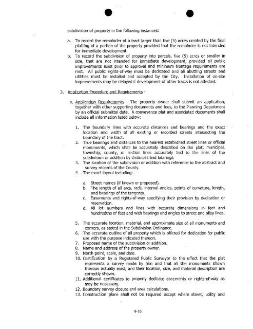
subdivision <strong>of</strong> property in the following instances:<br />
a. To record the remainder <strong>of</strong> a tract larger than five (5) acres created by the final<br />
platting <strong>of</strong> a portion <strong>of</strong> the property provided that the remainder is not intended<br />
for immediate development.<br />
b. To record the subdivision <strong>of</strong> property into parcels, five (5) acres or smaller in<br />
size, that are not intended for immediate development, provided all public<br />
improvements exist prior to approval and minimum frontage requirements are<br />
met. All public rights-<strong>of</strong>-way must be dedicated and all abutting streets and<br />
utilities must be installed and accepted by the <strong>City</strong>. Installation <strong>of</strong> on-site<br />
improvements may be delayed if development <strong>of</strong> other tracts is not affected.<br />
3. Application Procedure and Requirements -<br />
a. Application Requirements - The property owner shall submit an application,<br />
together with other supporting documents and fees, to the Planning Department<br />
by an <strong>of</strong>ficial submittal date. A conveyance plat and associated documents shall<br />
include all information listed below:<br />
1. The boundary lines with accurate distances and bearings and the exact -<br />
location and width <strong>of</strong> all existing or recorded streets intersecting the<br />
boundary <strong>of</strong> the tract.<br />
2. True bearings and distances to the nearest established street lines or <strong>of</strong>ficial<br />
monuments, which shall be accurately described on the plat; municipal,<br />
township, county, or section lines accurately tied to the lines <strong>of</strong> the<br />
subdivision or addition by distances and bearings.<br />
3. The location <strong>of</strong> the subdivision or addition with reference to the abstract and<br />
survey records <strong>of</strong> the County.<br />
4. The exact layout including:<br />
a. Street names (if known or proposed).<br />
b. The length <strong>of</strong> all arcs, radii, internal angles, points <strong>of</strong> curvature, length,<br />
and bearings <strong>of</strong> the tangents.<br />
c. Easements and rights-<strong>of</strong>-way specifying their provision by dedication or<br />
reservation.<br />
d. All lot numbers and lines with accurate dimensions in feet and<br />
hundredths <strong>of</strong> feet and with bearings and angles to street and alley lines.<br />
5. The accurate location, material, and approximate size <strong>of</strong> all monuments and<br />
corners, as stated in the Subdivision Ordinance.<br />
6. The accurate outline <strong>of</strong> all property which is <strong>of</strong>fered for dedication for public<br />
use with the purpose indicated thereon.<br />
7. Proposed name <strong>of</strong> the subdivision or addition.<br />
8. Name and address <strong>of</strong> the property owner.<br />
9. <strong>No</strong>rth point, scale, and date.<br />
10. Certification by a Registered Public Surveyor to the effect that the plat<br />
represents a survey made by him and that all the monuments shown<br />
thereon actually exist, and their location, size, and material description are<br />
correctly shown.<br />
11. Additional certificates to properly dedicate easements or rights-<strong>of</strong>-way as<br />
may be necessary.<br />
12. Boundary survey closure and area calculations.<br />
13. Construction plans shall not be required except where street, utility and<br />
4-10


