Download the publication - Tropenbos International
Download the publication - Tropenbos International
Download the publication - Tropenbos International

Create successful ePaper yourself
Turn your PDF publications into a flip-book with our unique Google optimized e-Paper software.
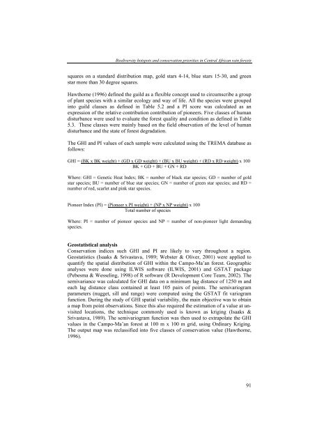
Biodiversity hotspots and conservation priorities in Central African rain forests<br />
squares on a standard distribution map, gold stars 4-14, blue stars 15-30, and green<br />
star more than 30 degree squares.<br />
Hawthorne (1996) defined <strong>the</strong> guild as a flexible concept used to circumscribe a group<br />
of plant species with a similar ecology and way of life. All <strong>the</strong> species were grouped<br />
into guild classes as defined in Table 5.2 and a PI score was calculated as an<br />
expression of <strong>the</strong> relative contribution contribution of pioneers. Five classes of human<br />
disturbance were used to evaluate <strong>the</strong> forest quality and condition as defined in Table<br />
5.3. These classes were mainly based on <strong>the</strong> field observation of <strong>the</strong> level of human<br />
disturbance and <strong>the</strong> state of forest degradation.<br />
The GHI and PI values of each sample were calculated using <strong>the</strong> TREMA database as<br />
follows:<br />
GHI = (BK x BK weight) + (GD x GD weight) + (BU x BU weight) + (RD x RD weight) x 100<br />
BK + GD + BU + GN + RD<br />
Where: GHI = Genetic Heat Index; BK = number of black star species; GD = number of gold<br />
star species; BU = number of blue star species; GN = number of green star species; and RD =<br />
number of red, scarlet and pink star species.<br />
Pioneer Index (PI) = (Pioneer x PI weight) + (NP x NP weight) x 100<br />
Total number of species<br />
Where: PI = number of pioneer species and NP = number of non-pioneer light demanding<br />
species.<br />
Geostatistical analysis<br />
Conservation indices such GHI and PI are likely to vary throughout a region.<br />
Geostatistics (Isaaks & Srivastava, 1989; Webster & Oliver, 2001) were applied to<br />
quantify <strong>the</strong> spatial distribution of GHI within <strong>the</strong> Campo-Ma’an forest. Geographic<br />
analyses were done using ILWIS software (ILWIS, 2001) and GSTAT package<br />
(Pebesma & Wesseling, 1998) of R software (R Development Core Team, 2002). The<br />
semivariance was calculated for GHI data on a minimum lag distance of 1250 m and<br />
each lag distance class contained at least 105 pairs of points. The semivariogram<br />
parameters (nugget, sill and range) were computed using <strong>the</strong> GSTAT fit variogram<br />
function. During <strong>the</strong> study of GHI spatial variability, <strong>the</strong> main objective was to obtain<br />
a map from point observations. Since this also required <strong>the</strong> estimation of a value at unvisited<br />
locations, <strong>the</strong> technique commonly used is known as kriging (Isaaks &<br />
Srivastava, 1989). The semivariogram function was <strong>the</strong>n used to extrapolate <strong>the</strong> GHI<br />
values in <strong>the</strong> Campo-Ma’an forest at 100 m x 100 m grid, using Ordinary Kriging.<br />
The output map was reclassified into five classes of conservation value (Hawthorne,<br />
1996).<br />
91