

LAS SPECIFICATION VERSION 1.4 – R11 - asprs
LAS SPECIFICATION VERSION 1.4 – R11 - asprs
LAS SPECIFICATION VERSION 1.4 – R11 - asprs

You also want an ePaper? Increase the reach of your titles
YUMPU automatically turns print PDFs into web optimized ePapers that Google loves.
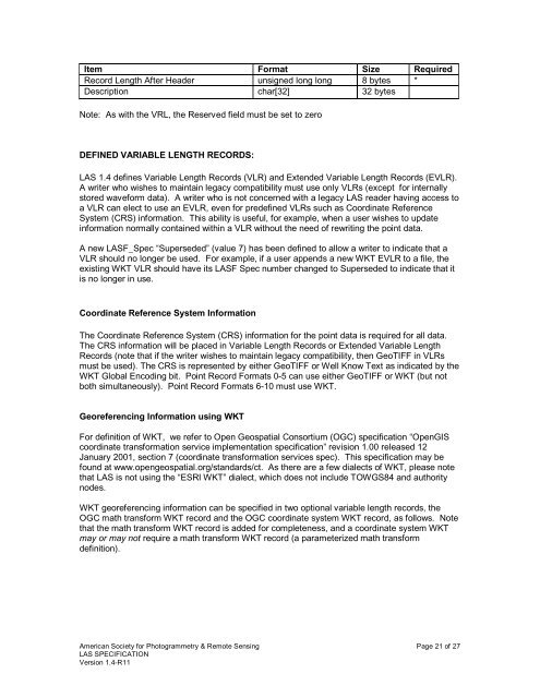
Item Format Size Required<br />
Record Length After Header unsigned long long 8 bytes *<br />
Description char[32] 32 bytes<br />
Note: As with the VRL, the Reserved field must be set to zero<br />
DEFINED VARIABLE LENGTH RECORDS:<br />
<strong>LAS</strong> <strong>1.4</strong> defines Variable Length Records (VLR) and Extended Variable Length Records (EVLR).<br />
A writer who wishes to maintain legacy compatibility must use only VLRs (except for internally<br />
stored waveform data). A writer who is not concerned with a legacy <strong>LAS</strong> reader having access to<br />
a VLR can elect to use an EVLR, even for predefined VLRs such as Coordinate Reference<br />
System (CRS) information. This ability is useful, for example, when a user wishes to update<br />
information normally contained within a VLR without the need of rewriting the point data.<br />
A new <strong>LAS</strong>F_Spec “Superseded” (value 7) has been defined to allow a writer to indicate that a<br />
VLR should no longer be used. For example, if a user appends a new WKT EVLR to a file, the<br />
existing WKT VLR should have its <strong>LAS</strong>F Spec number changed to Superseded to indicate that it<br />
is no longer in use.<br />
Coordinate Reference System Information<br />
The Coordinate Reference System (CRS) information for the point data is required for all data.<br />
The CRS information will be placed in Variable Length Records or Extended Variable Length<br />
Records (note that if the writer wishes to maintain legacy compatibility, then GeoTIFF in VLRs<br />
must be used). The CRS is represented by either GeoTIFF or Well Know Text as indicated by the<br />
WKT Global Encoding bit. Point Record Formats 0-5 can use either GeoTIFF or WKT (but not<br />
both simultaneously). Point Record Formats 6-10 must use WKT.<br />
Georeferencing Information using WKT<br />
For definition of WKT, we refer to Open Geospatial Consortium (OGC) specification “OpenGIS<br />
coordinate transformation service implementation specification” revision 1.00 released 12<br />
January 2001, section 7 (coordinate transformation services spec). This specification may be<br />
found at www.opengeospatial.org/standards/ct. As there are a few dialects of WKT, please note<br />
that <strong>LAS</strong> is not using the “ESRI WKT” dialect, which does not include TOWGS84 and authority<br />
nodes.<br />
WKT georeferencing information can be specified in two optional variable length records, the<br />
OGC math transform WKT record and the OGC coordinate system WKT record, as follows. Note<br />
that the math transform WKT record is added for completeness, and a coordinate system WKT<br />
may or may not require a math transform WKT record (a parameterized math transform<br />
definition).<br />
American Society for Photogrammetry & Remote Sensing Page 21 of 27<br />
<strong>LAS</strong> <strong>SPECIFICATION</strong><br />
Version <strong>1.4</strong>-<strong>R11</strong>


