Fernerkundung I (Digitale Bildverarbeitung) - Friedrich-Schiller ...
Fernerkundung I (Digitale Bildverarbeitung) - Friedrich-Schiller ...
Fernerkundung I (Digitale Bildverarbeitung) - Friedrich-Schiller ...

Create successful ePaper yourself
Turn your PDF publications into a flip-book with our unique Google optimized e-Paper software.
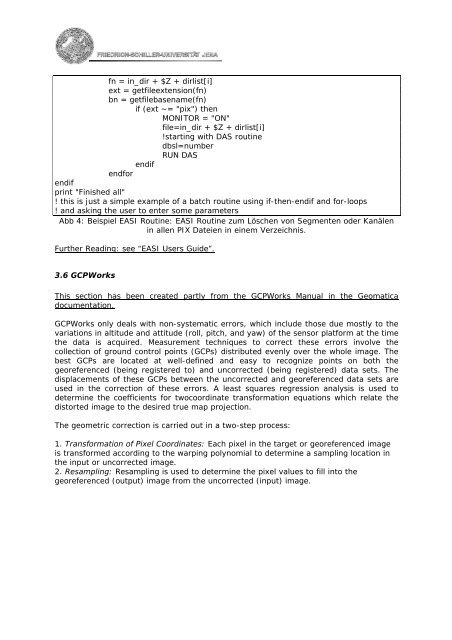
fn = in_dir + $Z + dirlist[i]<br />
ext = getfileextension(fn)<br />
bn = getfilebasename(fn)<br />
if (ext ~= "pix") then<br />
MONITOR = "ON"<br />
file=in_dir + $Z + dirlist[i]<br />
!starting with DAS routine<br />
dbsl=number<br />
RUN DAS<br />
endif<br />
endfor<br />
endif<br />
print "Finished all"<br />
! this is just a simple example of a batch routine using if-then-endif and for-loops<br />
! and asking the user to enter some parameters<br />
Abb 4: Beispiel EASI Routine: EASI Routine zum Löschen von Segmenten oder Kanälen<br />
in allen PIX Dateien in einem Verzeichnis.<br />
Further Reading: see “EASI Users Guide”.<br />
3.6 GCPWorks<br />
This section has been created partly from the GCPWorks Manual in the Geomatica<br />
documentation.<br />
GCPWorks only deals with non-systematic errors, which include those due mostly to the<br />
variations in altitude and attitude (roll, pitch, and yaw) of the sensor platform at the time<br />
the data is acquired. Measurement techniques to correct these errors involve the<br />
collection of ground control points (GCPs) distributed evenly over the whole image. The<br />
best GCPs are located at well-defined and easy to recognize points on both the<br />
georeferenced (being registered to) and uncorrected (being registered) data sets. The<br />
displacements of these GCPs between the uncorrected and georeferenced data sets are<br />
used in the correction of these errors. A least squares regression analysis is used to<br />
determine the coefficients for twocoordinate transformation equations which relate the<br />
distorted image to the desired true map projection.<br />
The geometric correction is carried out in a two-step process:<br />
1. Transformation of Pixel Coordinates: Each pixel in the target or georeferenced image<br />
is transformed according to the warping polynomial to determine a sampling location in<br />
the input or uncorrected image.<br />
2. Resampling: Resampling is used to determine the pixel values to fill into the<br />
georeferenced (output) image from the uncorrected (input) image.