Annual Report 2009-2010 - Ministry Of Earth Sciences
Annual Report 2009-2010 - Ministry Of Earth Sciences
Annual Report 2009-2010 - Ministry Of Earth Sciences

Create successful ePaper yourself
Turn your PDF publications into a flip-book with our unique Google optimized e-Paper software.
5<br />
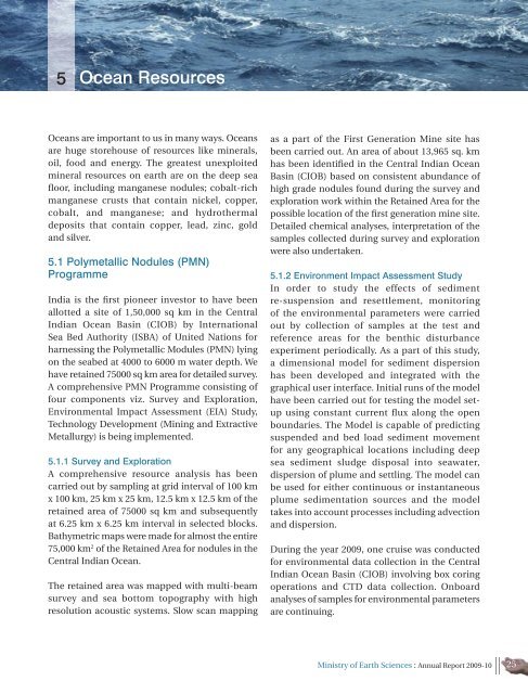
Ocean Resources<br />
Oceans are important to us in many ways. Oceans<br />
are huge storehouse of resources like minerals,<br />
oil, food and energy. The greatest unexploited<br />
mineral resources on earth are on the deep sea<br />
floor, including manganese nodules; cobalt-rich<br />
manganese crusts that contain nickel, copper,<br />
cobalt, and manganese; and hydrothermal<br />
deposits that contain copper, lead, zinc, gold<br />
and silver.<br />
5.1 Polymetallic Nodules (PMN)<br />
Programme<br />
India is the first pioneer investor to have been<br />
allotted a site of 1,50,000 sq km in the Central<br />
Indian Ocean Basin (CIOB) by International<br />
Sea Bed Authority (ISBA) of United Nations for<br />
harnessing the Polymetallic Modules (PMN) lying<br />
on the seabed at 4000 to 6000 m water depth. We<br />
have retained 75000 sq km area for detailed survey.<br />
A comprehensive PMN Programme consisting of<br />
four components viz. Survey and Exploration,<br />
Environmental Impact Assessment (EIA) Study,<br />
Technology Development (Mining and Extractive<br />
Metallurgy) is being implemented.<br />
5.1.1 Survey and Exploration<br />
A comprehensive resource analysis has been<br />
carried out by sampling at grid interval of 100 km<br />
x 100 km, 25 km x 25 km, 12.5 km x 12.5 km of the<br />
retained area of 75000 sq km and subsequently<br />
at 6.25 km x 6.25 km interval in selected blocks.<br />
Bathymetric maps were made for almost the entire<br />
75,000 km 2 of the Retained Area for nodules in the<br />
Central Indian Ocean.<br />
The retained area was mapped with multi-beam<br />
survey and sea bottom topography with high<br />
resolution acoustic systems. Slow scan mapping<br />
as a part of the First Generation Mine site has<br />
been carried out. An area of about 13,965 sq. km<br />
has been identified in the Central Indian Ocean<br />
Basin (CIOB) based on consistent abundance of<br />
high grade nodules found during the survey and<br />
exploration work within the Retained Area for the<br />
possible location of the first generation mine site.<br />
Detailed chemical analyses, interpretation of the<br />
samples collected during survey and exploration<br />
were also undertaken.<br />
5.1.2 Environment Impact Assessment Study<br />
In order to study the effects of sediment<br />
re-suspension and resettlement, monitoring<br />
of the environmental parameters were carried<br />
out by collection of samples at the test and<br />
reference areas for the benthic disturbance<br />
experiment periodically. As a part of this study,<br />
a dimensional model for sediment dispersion<br />
has been developed and integrated with the<br />
graphical user interface. Initial runs of the model<br />
have been carried out for testing the model setup<br />
using constant current flux along the open<br />
boundaries. The Model is capable of predicting<br />
suspended and bed load sediment movement<br />
for any geographical locations including deep<br />
sea sediment sludge disposal into seawater,<br />
dispersion of plume and settling. The model can<br />
be used for either continuous or instantaneous<br />
plume sedimentation sources and the model<br />
takes into account processes including advection<br />
and dispersion.<br />
During the year <strong>2009</strong>, one cruise was conducted<br />
for environmental data collection in the Central<br />
Indian Ocean Basin (CIOB) involving box coring<br />
operations and CTD data collection. Onboard<br />
analyses of samples for environmental parameters<br />
are continuing.<br />
<strong>Ministry</strong> of <strong>Earth</strong> <strong>Sciences</strong> : <strong>Annual</strong> <strong>Report</strong> <strong>2009</strong>-10 25