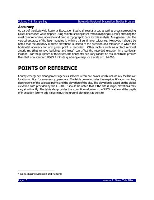
Book 4: Pinellas County Storm Tide Atlas - Tampa Bay Regional ...
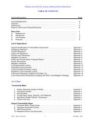
Book 4: Pinellas County Storm Tide Atlas - Tampa Bay Regional ...
Book 4: Pinellas County Storm Tide Atlas - Tampa Bay Regional ...
You also want an ePaper? Increase the reach of your titles
YUMPU automatically turns print PDFs into web optimized ePapers that Google loves.
Volume 7-8 <strong>Tampa</strong> <strong>Bay</strong><br />
Statewide <strong>Regional</strong> Evacuation Studies Program<br />
Accuracy<br />
As part of the Statewide <strong>Regional</strong> Evacuation Study, all coastal areas as well as areas surrounding<br />
Lake Okeechobee were mapped using remote-sensing laser terrain mapping (LIDAR 4 ) providing the<br />
most comprehensive, accurate and precise topographic data for this analysis. As a general rule, the<br />
vertical accuracy of the laser mapping is within a 15 centimeter tolerance. However, it should be<br />
noted that the accuracy of these elevations is limited to the precision and tolerance in which the<br />
horizontal accuracy for any given point is recorded. Other factors such as artifact removal<br />
algorithms (that remove buildings and trees) can affect the recorded elevation in a particular<br />
location. For the purposes of this study, the horizontal accuracy cannot be assumed to be greater<br />
than that of a standard USGS 7 minute quadrangle map, or a scale of 1:24,000.<br />
POINTS OF REFERENCE<br />
<strong>County</strong> emergency management agencies selected reference points which include key facilities or<br />
locations critical for emergency operations. The table below includes the map identification number,<br />
descriptions of the selected points and the elevation of the site. The elevation is based on the digital<br />
elevation data provided by the LIDAR. It should be noted that if the site is large, elevations may<br />
vary significantly. The table also provides the storm tide value from the SLOSH value and the depth<br />
of inundation (storm tide value minus the ground elevation) at the site.<br />
4 Light Imaging Detection and Ranging<br />
Page 16<br />
Volume 7: <strong>Storm</strong> <strong>Tide</strong> <strong>Atlas</strong>


