European Geologist European Geologist Geoheritage - learning ...
European Geologist European Geologist Geoheritage - learning ...
European Geologist European Geologist Geoheritage - learning ...

You also want an ePaper? Increase the reach of your titles
YUMPU automatically turns print PDFs into web optimized ePapers that Google loves.
Topical - <strong>Geoheritage</strong><br />
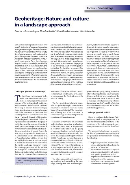
<strong>Geoheritage</strong>: Nature and culture<br />
in a landscape approach<br />
Francesca Romana Lugeri, Piero Farabollini*, Gian Vito Graziano and Vittorio Amadio<br />
New environmental problems require new<br />
models for territorial study and innovative<br />
management strategies. The aim of enhancing<br />
local resources can be achieved only by<br />
directing development policies towards a<br />
path of integration between landscape<br />
protection, and socio-economic and cultural<br />
requirements. These functions can<br />
only be based on knowledge, enabled by<br />
new themes, such as wine production, and<br />
disseminated through new media, such as<br />
sports or film. Landscape is the key to the<br />
reading and cartography is the tool. With<br />
modern geographic information systems,<br />
each mapping process is associated with a<br />
database that indicates the value of each<br />
graphic element.<br />
Des nouvelles problématiques environnementales<br />
demandent l’élaboration de nouveaux<br />
modèles pour l’étude du territoire et<br />
des stratégies de gestion innovatrices. Le<br />
but de valoriser les ressources du territoire<br />
peut être atteint uniquement en orientant<br />
les politiques de développement vers<br />
une voie d’intégration entre les exigences<br />
écologiques et de protection du paysage<br />
et les nécessites socio-économiques et<br />
culturelles. Ces fonctions ne peuvent être<br />
basées que sur la connaissance, activé par<br />
de nouveaux thèmes, tels que la production<br />
de vin, et diffusées à travers les nouveaux<br />
médias, comme le sport ou la représentation<br />
filmique. Le paysage est la clé de la<br />
lecture; la cartographie, et les systèmes<br />
d’information géographique, sont l’outil.<br />
Nuevos problemas ambientales requerirá el<br />
desarrollo de nuevos modelos para el estudio<br />
del territorio y de estrategias innovadoras<br />
de gestión. El objetivo de aprovechar<br />
los recursos locales sólo se puede lograr<br />
mediante la dirección de las políticas de<br />
desarrollo hacia un camino de integración<br />
entre los requisitos ambientales y las necesidades<br />
de protección del paisaje y socioeconómicos<br />
y culturales. Estas funciones<br />
sólo se puede basar en el conocimiento,<br />
habilitado por los nuevos temas, tales como<br />
la producción de vino, y difundida a través<br />
de nuevos medios de comunicación, como<br />
los deportes o la representación fílmica. El<br />
paisaje es la clave de lectura, los modernos<br />
sistemas de información geográfica, es la<br />
herramienta.<br />
Landscapes, geosciences and heritage<br />
Territorial and environmental problems,<br />
ever more delicate and dramatic<br />
in Italy, require the constant<br />
presence of the geologist in all social, cultural,<br />
economic and territorial contexts.<br />
A first step in this new direction is to pay<br />
closer attention to environmental geology<br />
and, at the same time, to create new, farreaching<br />
kinds of communication. The<br />
Italian National Council of <strong>Geologist</strong>s<br />
and the Regional Professional Orders are<br />
organizations concerned in this project<br />
and, today more than ever, an efficient and<br />
timely participation in geo-environmental<br />
protection as well as in the field of scientific<br />
communication is urgent. One of the<br />
most important goals is the popularization<br />
of Earth Sciences and the International Year<br />
of Planet Earth has, within a project that<br />
has highlighted scientific heritage helped<br />
to make Earth Sciences more accessible to<br />
the public. Landscape plays a key role in<br />
the knowledge processes: it is the result of<br />
the endogenous and exogenous activities<br />
that mould Earth’s surface and, at the same<br />
time, can be considered the result of the<br />
* Università di Camerino. Piazza Cavour,<br />
1. 62032 Camerino. piero.farabollini@<br />
unicam.it<br />
interaction of many natural and cultural<br />
components; it could become a “medium”<br />
to communicate the Earth Sciences to the<br />
whole of society.<br />
The first step is knowledge and awareness:<br />
the geomorphological sciences are a<br />
powerful tool in order to reach and share a<br />
“sense of natural identity”. The consciousness<br />
of being part of an ecosystem, is<br />
achieved through the knowledge and the<br />
experience of the environment.<br />
Landscape is everywhere, but needs to be<br />
understood and recognized as a heritage;<br />
at the same time it needs to be protected,<br />
in order to become a resource: the quality<br />
of landscape impinges on individual and<br />
social well-being; moreover, as finally ratified<br />
in the <strong>European</strong> Landscape Convention<br />
(2000), “Landscape is everywhere and is<br />
an essential element of quality of life and<br />
cooperates in the development of local<br />
cultures”. The key role of the landscape is<br />
in its perceptive and symbolic power: it is<br />
what mankind interacts with, from the first<br />
contact with the environment, source of<br />
resources, risk, emotions.<br />
The following are different ways of reading,<br />
studying and researching the landscape,<br />
starting from new methodological<br />
approaches and going through different<br />
interpretative paths and a new concept,<br />
allowing an holistic interpretation of the<br />
landscape where Earth Sciences, as well<br />
as playing a role of primary importance,<br />
also act as a “catalyst”, capable of stirring<br />
emotions that otherwise could not be interpreted<br />
and appreciated.<br />
Landscape approach and GIS<br />
Shape is synthesis: following an Aristotelian<br />
approach in studying nature, it is<br />
almost natural to read land features as the<br />
expression of the endogenous and exogenous<br />
processes that mould Earth surfaces.<br />
The goals of the landscape approach in<br />
the field of geo-environment assessment<br />
and geosciences popularization are basically<br />
the following:<br />
• to provide principles, theoretical reference<br />
criteria and methodologies for<br />
the study of landscape<br />
• to enable environmental diagnosis<br />
and assessments, also through indices<br />
and specific quantitative models<br />
• to provide synthetic models to predict<br />
the evolution of the landscape<br />
• to influence the choice of territorial<br />
conservation and management<br />
<strong>European</strong> <strong>Geologist</strong> 34 | November 2012<br />
23