European Geologist European Geologist Geoheritage - learning ...
European Geologist European Geologist Geoheritage - learning ...
European Geologist European Geologist Geoheritage - learning ...

Create successful ePaper yourself
Turn your PDF publications into a flip-book with our unique Google optimized e-Paper software.
Topical - <strong>Geoheritage</strong><br />
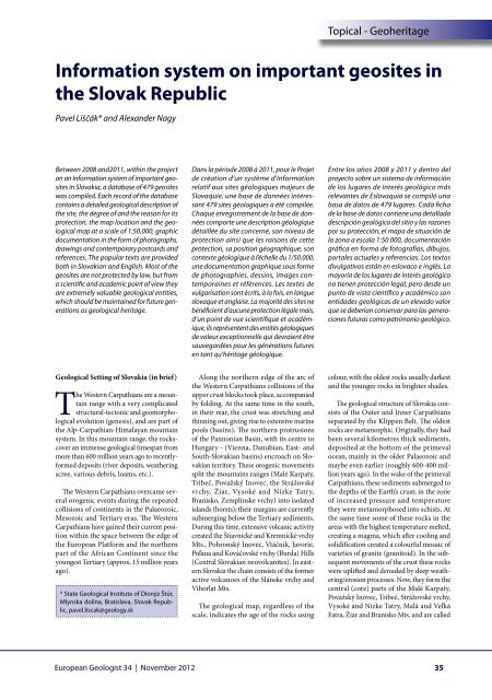
Information system on important geosites in<br />
the Slovak Republic<br />
Pavel Liščák* and Alexander Nagy<br />
Between 2008 and2011, within the project<br />
on an Information system of important geosites<br />
in Slovakia, a database of 479 geosites<br />
was compiled. Each record of the database<br />
contains a detailed geological description of<br />
the site, the degree of and the reason for its<br />
protection, the map location and the geological<br />
map at a scale of 1:50,000, graphic<br />
documentation in the form of photographs,<br />
drawings and contemporary postcards and<br />
references. The popular texts are provided<br />
both in Slovakian and English. Most of the<br />
geosites are not protected by law, but from<br />
a scientific and academic point of view they<br />
are extremely valuable geological entities,<br />
which should be maintained for future generations<br />
as geological heritage.<br />
Dans la période 2008 à 2011, pour le Projet<br />
de création d’un système d’Information<br />
relatif aux sites géologiques majeurs de<br />
Slovaquie, une base de données intéressant<br />
479 sites géologiques a été compilée.<br />
Chaque enregistrement de la base de données<br />
comporte une description géologique<br />
détaillée du site concerné, son niveau de<br />
protection ainsi que les raisons de cette<br />
protection, sa position géographique, son<br />
contexte géologique à l’échelle du 1/50.000,<br />
une documentation graphique sous forme<br />
de photographies, dessins, images contemporaines<br />
et références. Les textes de<br />
vulgarisation sont écrits, à la fois, en langue<br />
slovaque et anglaise. La majorité des sites ne<br />
bénéficient d’aucune protection légale mais,<br />
d’un point de vue scientifique et académique,<br />
ils représentent des entités géologiques<br />
de valeur exceptionnelle qui devraient être<br />
sauvegardées pour les générations futures<br />
en tant qu’héritage géologique.<br />
Entre los años 2008 y 2011 y dentro del<br />
proyecto sobre un sistema de información<br />
de los lugares de interés geológico más<br />
relevantes de Eslovaquia se compiló una<br />
basa de datos de 479 lugares. Cada ficha<br />
de la base de datos contiene una detallada<br />
descripción geológica del sitio y las razones<br />
por su protección, el mapa de situación de<br />
la zona a escala 1:50 000, documentación<br />
gráfica en forma de fotografías, dibujos,<br />
portales actuales y referencias. Los textos<br />
divulgativos están en eslovaco e inglés. La<br />
mayoría de los lugares de interés geológico<br />
no tienen protección legal, pero desde un<br />
punto de vista científico y académico son<br />
entidades geológicas de un elevado valor<br />
que se deberían conservar para las generaciones<br />
futuras como patrimonio geológico.<br />
Geological Setting of Slovakia (in brief)<br />
The Western Carpathians are a mountain<br />
range with a very complicated<br />
structural-tectonic and geomorphological<br />
evolution (genesis), and are part of<br />
the Alp-Carpathian-Himalayan mountain<br />
system. In this mountain range, the rockscover<br />
an immense geological timespan from<br />
more than 600 million years ago to recentlyformed<br />
deposits (river deposits, weathering<br />
scree, various debris, loams, etc.).<br />
The Western Carpathians overcame several<br />
orogenic events during the repeated<br />
collisions of continents in the Palaeozoic,<br />
Mesozoic and Tertiary eras. The Western<br />
Carpathians have gained their current position<br />
within the space between the edge of<br />
the <strong>European</strong> Platform and the northern<br />
part of the African Continent since the<br />
youngest Tertiary (approx. 15 million years<br />
ago).<br />
* State Geological Institute of Dionýz Štúr,<br />
Mlynska dolina, Bratislava, Slovak Republic,<br />
pavel.liscak@geology.sk<br />
Along the northern edge of the arc of<br />
the Western Carpathians collisions of the<br />
upper crust blocks took place, accompanied<br />
by folding. At the same time in the south,<br />
in their rear, the crust was stretching and<br />
thinning out, giving rise to extensive marine<br />
pools (basins). The northern protrusions<br />
of the Pannonian Basin, with its centre in<br />
Hungary - (Vienna, Danubian, East- and<br />
South-Slovakian basins) encroach on Slovakian<br />
territory. These orogenic movements<br />
split the mountains ranges (Malé Karpaty,<br />
Tribeč, Považský Inovec, the Strážovské<br />
vrchy, Žiar, Vysoké and Nízke Tatry,<br />
Branisko, Zemplínske vrchy) into isolated<br />
islands (horsts); their margins are currently<br />
submerging below the Tertiary sediments.<br />
During this time, extensive volcanic activity<br />
created the Štiavnické and Kremnické vrchy<br />
Mts., Pohronský Inovec, Vtáčnik, Javorie,<br />
Poľana and Kováčovské vrchy (Burda) Hills<br />
(Central Slovakian neovolcanites). In eastern<br />
Slovakia the chain consists of the former<br />
active volcanoes of the Slánske vrchy and<br />
Vihorlat Mts.<br />
The geological map, regardless of the<br />
scale, indicates the age of the rocks using<br />
colour, with the oldest rocks usually darkest<br />
and the younger rocks in brighter shades.<br />
The geological structure of Slovakia consists<br />
of the Outer and Inner Carpathians<br />
separated by the Klippen Belt. The oldest<br />
rocks are metamorphic. Originally, they had<br />
been several kilometres thick sediments,<br />
deposited at the bottom of the primeval<br />
ocean, mainly in the older Palaeozoic and<br />
maybe even earlier (roughly 600-400 million<br />
years ago). In the wake of the primeval<br />
Carpathians, these sediments submerged to<br />
the depths of the Earth’s crust; in the zone<br />
of increased pressure and temperature<br />
they were metamorphosed into schists. At<br />
the same time some of these rocks in the<br />
areas with the highest temperature melted,<br />
creating a magma, which after cooling and<br />
solidification created a colourful mosaic of<br />
varieties of granite (granitoid). In the subsequent<br />
movements of the crust these rocks<br />
were uplifted and denuded by deep weathering/erosion<br />
processes. Now, they form the<br />
central (core) parts of the Malé Karpaty,<br />
Považský Inovec, Tribeč, Strážovské vrchy,<br />
Vysoké and Nízke Tatry, Malá and Veľká<br />
Fatra, Žiar and Branisko Mts. and are called<br />
<strong>European</strong> <strong>Geologist</strong> 34 | November 2012<br />
35