European Geologist European Geologist Geoheritage - learning ...
European Geologist European Geologist Geoheritage - learning ...
European Geologist European Geologist Geoheritage - learning ...

Create successful ePaper yourself
Turn your PDF publications into a flip-book with our unique Google optimized e-Paper software.
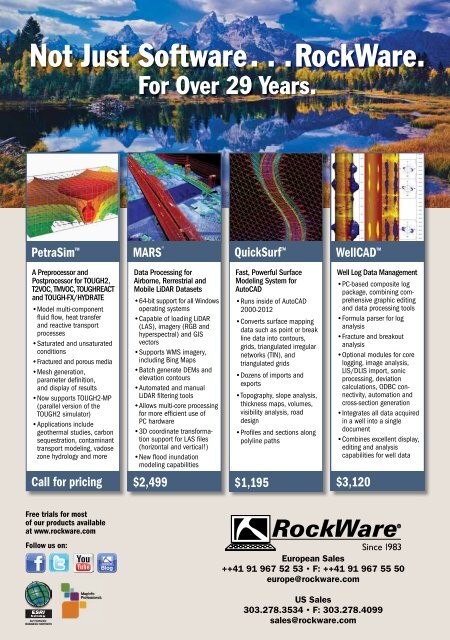
Not Just Software. . . RockWare.<br />
For Over 29 Years.<br />
PetraSim <br />
MARS ®<br />
QuickSurf <br />
WellCAD <br />
A Preprocessor and<br />
Postprocessor for TOUGH2,<br />
T2VOC, TMVOC, TOUGHREACT<br />
and TOUGH-FX/HYDRATE<br />
• Model multi-component<br />
fl uid fl ow, heat transfer<br />
and reactive transport<br />
processes<br />
• Saturated and unsaturated<br />
conditions<br />
•Fractured and porous media<br />
• Mesh generation,<br />
parameter defi nition,<br />
and display of results<br />
• Now supports TOUGH2-MP<br />
(parallel version of the<br />
TOUGH2 simulator)<br />
• Applications include<br />
geothermal studies, carbon<br />
sequestration, contaminant<br />
transport modeling, vadose<br />
zone hydrology and more<br />
Data Processing for<br />
Airborne, Rerrestrial and<br />
Mobile LiDAR Datasets<br />
• 64-bit support for all Windows<br />
operating systems<br />
• Capable of loading LiDAR<br />
(LAS), imagery (RGB and<br />
hyperspectral) and GIS<br />
vectors<br />
• Supports WMS imagery,<br />
including Bing Maps<br />
• Batch generate DEMs and<br />
elevation contours<br />
• Automated and manual<br />
LiDAR fi ltering tools<br />
• Allows multi-core processing<br />
for more effi cient use of<br />
PC hardware<br />
• 3D coordinate transformation<br />
support for LAS fi les<br />
(horizontal and vertical!)<br />
• New fl ood inundation<br />
modeling capabilities<br />
Fast, Powerful Surface<br />
Modeling System for<br />
AutoCAD<br />
• Runs inside of AutoCAD<br />
2000-2012<br />
• Converts surface mapping<br />
data such as point or break<br />
line data into contours,<br />
grids, triangulated irregular<br />
networks (TIN), and<br />
triangulated grids<br />
• Dozens of imports and<br />
exports<br />
• Topography, slope analysis,<br />
thickness maps, volumes,<br />
visibility analysis, road<br />
design<br />
• Profi les and sections along<br />
polyline paths<br />
Well Log Data Management<br />
• PC-based composite log<br />
package, combining comprehensive<br />
graphic editing<br />
and data processing tools<br />
• Formula parser for log<br />
analysis<br />
• Fracture and breakout<br />
analysis<br />
• Optional modules for core<br />
logging, image analysis,<br />
LIS/DLIS import, sonic<br />
processing, deviation<br />
calculations, ODBC connectivity,<br />
automation and<br />
cross-section generation<br />
• Integrates all data acquired<br />
in a well into a single<br />
document<br />
• Combines excellent display,<br />
editing and analysis<br />
capabilities for well data<br />
Call for pricing<br />
$2,499<br />
$1,195<br />
$3,120<br />
Free trials for most<br />
of our products available<br />
at www.rockware.com<br />
Follow us on:<br />
72<br />
MapInfo<br />
Professional®<br />
Blog<br />
<strong>European</strong> Sales<br />
++41 91 967 52 53 • F: ++41 91 967 55 50<br />
europe@rockware.com<br />
US Sales<br />
303.278.3534 • F: 303.278.4099<br />
sales@rockware.com