

Mapping a Better Future - World Resources Institute
Mapping a Better Future - World Resources Institute
Mapping a Better Future - World Resources Institute

Create successful ePaper yourself
Turn your PDF publications into a flip-book with our unique Google optimized e-Paper software.
Managing Wetlands and Reducing Poverty<br />
5<br />
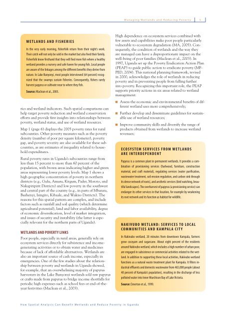
WETLANDS AND FISHERIES<br />
In the very early morning, fisherfolk return from their night’s work.<br />
Their catch will not only be sold in the market but also feed their family.<br />
Fisherfolk know firsthand that they will find more fish where a healthy<br />
wetland provides a nursery and safe haven for young fish. Local people<br />
are aware of the linkages among the different benefits they derive from<br />
nature. In Lake Bunyonyi, most people interviewed (64 percent) recognized<br />
that the swamps sustain fisheries. Consequently, fishers rarely<br />
harvest papyrus or cultivate near to where they fish.<br />
Source: Maclean et al., 2003.<br />
rics and wetland indicators. Such spatial comparisons can<br />
help target poverty reduction and wetland conservation<br />
efforts and provide fi rst insights into relationships between<br />
poverty, wetland status, and use of wetland resources.<br />
Map 1 (page 6) displays the 2005 poverty rates for rural<br />
subcounties. Other poverty measures such as the poverty<br />
density (number of poor per square kilometer), poverty<br />
gap, and poverty severity are also available for these subcounties,<br />
as are estimates of inequality related to household<br />
expenditures.<br />
Rural poverty rates in Uganda’s subcounties range from<br />
less than 15 percent to more than 60 percent of the<br />
population, with brown areas indicating higher and green<br />
areas representing lower poverty levels. Map 1 shows a<br />
high geographic concentration of poverty in northern<br />
districts (e.g., Gulu, Amuru, Kitgum, Pader, Moroto, and<br />
Nakapiripirit Districts) and low poverty in the southwest<br />
and central part of the country (e.g., in parts of Mbarara,<br />
Bushenyi, Isingiro, Kibaale, and Wakiso Districts). The<br />
reasons for this spatial pattern are complex, and include<br />
factors such as rainfall and soil quality (which determine<br />
agricultural potential), land and labor availability, degree<br />
of economic diversifi cation, level of market integration,<br />
and issues of security and instability (the latter is especially<br />
relevant for the northern parts of Uganda).<br />
WETLANDS AND POVERTY LINKS<br />
Poor people, especially in rural areas, generally rely on<br />
ecosystem services directly for subsistence and incomegenerating<br />
activities or to obtain water and medicines<br />
because of lack of affordable alternatives. Wetlands are<br />
also an important source of cash income, especially in<br />
emergencies. One of the few studies about the relationship<br />
between poverty and wetlands in Uganda showed,<br />
for example, that an overwhelming majority of papyrus<br />
harvesters in the Lake Bunyonyi wetlands sold raw papyrus<br />
or crafts made from papyrus to bridge income shortfalls for<br />
periodic high expenses such as school fees or end-of-theyear<br />
festivities (Maclean et al., 2003).<br />
High dependence on ecosystem services combined with<br />
few assets and capabilities make poor people particularly<br />
vulnerable to ecosystem degradation (MA, 2005). Consequently,<br />
the condition of wetlands and the way they<br />
are managed can have a disproportionate impact on the<br />
well-being of poor families (Maclean et al., 2003). In<br />
1997, Uganda set up the Poverty Eradication Action Plan<br />
(PEAP) to guide public action to eradicate poverty (MF-<br />
PED, 2004). This national planning framework, revised<br />
in 2000, acknowledges the role of wetlands in reducing<br />
poverty and in preventing people from falling further<br />
into poverty. Recognizing this important role, the PEAP<br />
supports priority actions in six areas related to wetland<br />
management:<br />
Assess the economic and environmental benefi ts of different<br />
wetland uses more comprehensively;<br />
Further develop and disseminate guidelines for sustainable<br />
use of wetland resources;<br />
Improve community skills and diversify the range of<br />
products obtained from wetlands to increase wetland<br />
revenues;<br />
ECOSYSTEM SERVICES FROM WETLANDS<br />
ARE INTERDEPENDENT<br />
Papyrus is a common plant in permanent wetlands. It provides a combination<br />
of provisioning services (fuelwood, furniture, construction<br />
material, and craft material), regulating services (water purification,<br />
wastewater treatment, soil erosion regulation, and carbon sink through<br />
its dense network of roots), and aesthetic services (bird watching, beautiful<br />
landscapes). The overharvest of papyrus (a provisioning service) can<br />
endanger its other services in that location, for example by weakening<br />
its root network and its function as habitat for wildlife.<br />
NAKIVUBO WETLAND: SERVICES TO LOCAL<br />
COMMUNITIES AND KAMPALA CITY<br />
In Nakivubo wetland, 20 minutes from downtown Kampala, farmers<br />
grow cocoyam and sugarcane. About eight percent of the residents<br />
around Nakivubo wetland, which includes a high number of urban poor,<br />
are engaged in subsistence or commercial activities related to the wetland.<br />
In addition to supporting these local activities, Nakivubo wetland<br />
functions as a natural waste treatment plant for Kampala. It filters industrial<br />
effluents and domestic wastewater from 465,000 people (about<br />
40 percent of Kampala’s population), resulting in the discharge of less<br />
polluted water into Inner Murchison Bay of Lake Victoria.<br />
Source: Emerton et al., 1999.<br />
How Spatial Analysis Can Benefit Wetlands and Reduce Poverty in Uganda


