

Mapping a Better Future - World Resources Institute
Mapping a Better Future - World Resources Institute
Mapping a Better Future - World Resources Institute

You also want an ePaper? Increase the reach of your titles
YUMPU automatically turns print PDFs into web optimized ePapers that Google loves.
Wetland Characteristics and Uses<br />
15<br />
Mineral (mostly clay) excavation, with its high negative<br />
impact on other wetland functions, occurs in almost<br />
a third of Uganda’s wetlands (31 percent). Destructive<br />
human settlements, even though less widespread (12<br />
percent), usually occur close to urban agglomerations. Demand<br />
for land and high property values are typically the<br />
drivers for the conversion to human settlement. However,<br />
many of these conversions do not take into account the<br />
economic contribution that wetlands make in treating<br />
wastewater from these population centers.<br />
National maps of each use can be produced, because<br />
each sample point in the National Wetlands Information<br />
System is geographically referenced. Such maps can<br />
inform decision-makers where specifi c uses take place and<br />
help them determine where these uses should be further<br />
expanded or stopped. These maps can also be compared<br />
to those showing other economic activities (such as oil<br />
exploration) or levels of legal protection (such as a forest<br />
reserve or a national park). This could improve environmental<br />
impact assessments and land-use planning. Map 4<br />
highlights four different uses—beekeeping, fi shing, hunting,<br />
and cultivation—which occur in less than 50 percent<br />
of Uganda’s wetlands.<br />
Beekeeping (which occurs in 11 percent of all wetlands)<br />
is a localized activity. It is concentrated in Nakaseke and<br />
Luwero Districts and in parts of Apac and Lira Districts.<br />
For the past seven years, beekeeping has spread more<br />
widely than shown in this map (which summarizes data<br />
from 1997–2001), mainly because of its commercial success<br />
(WMD, 2007).<br />
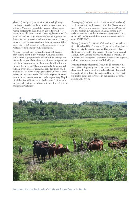
Fishing (occurs in 35 percent of all wetlands) and cultivation<br />
of food and fi ber (occurs in 37 percent of all wetlands)<br />
have very similar spatial patterns. They cluster within<br />
the triangle formed by the districts of Jinja, Kayunga, and<br />
Kamuli. Both uses are extensive activities in wetlands in<br />
Bushenyi and Ntungamo Districts in southwestern Uganda<br />
and in communities northeast of Lake Kyoga.<br />
Hunting is more widespread (occurs in 42 percent of all<br />
wetlands) and spatially less concentrated than the other<br />
three uses. It occurs simultaneously with agriculture and<br />
fi shing (such as in Jinja, Kayunga, and Kamuli Districts),<br />
but is also highly concentrated in the seasonal wetlands<br />
around Lake Kyoga.<br />
How Spatial Analysis Can Benefit Wetlands and Reduce Poverty in Uganda


