

Mapping a Better Future - World Resources Institute
Mapping a Better Future - World Resources Institute
Mapping a Better Future - World Resources Institute

You also want an ePaper? Increase the reach of your titles
YUMPU automatically turns print PDFs into web optimized ePapers that Google loves.
Executive Summary<br />
vii<br />
KEY FINDINGS AND RECOMMENDATIONS<br />
Findings<br />
The maps and analyses in this publication are primarily illustrative, but do<br />
support the following conclusions:<br />
• Detailed mapping of previously unused data confirms that wetlands provide<br />
multiple benefits in every district, and to every citizen of Uganda.<br />
• The diversity of products obtained from wetlands in specific locations<br />
ranges widely, from a handful to up to 24 products; levels of harmful impacts<br />
on wetlands by people also vary greatly across the country.<br />
• Spatial analyses of selected poverty-wetland indicators reveal no clear<br />
pattern at the subcounty level--despite popular belief that the poorest<br />
areas are always the most degraded.<br />
• The overlay analyses of poverty and wetland maps are most useful for<br />
identifying subcounties that share similar poverty and wetland characteristics,<br />
and thus may lend themselves to similar wetland management<br />
approaches and intervention strategies. Economic studies that quantify<br />
the value of wetland products and services can be linked to poverty and<br />
wetland maps to gauge the economic potential of specific wetland uses<br />
in reducing poverty.<br />
Spatial Analysis of Wetland and Poverty Indicators demonstrates<br />
how combining spatial analyses of such indicators<br />
can improve the information and analytical basis for decision-making.<br />
These comparisons incorporate the diversity<br />
of wetland products and the impacts of wetland use.<br />
Adding Value: Combining Wetland and Poverty Maps with<br />
Economic Analysis illustrates how the depth and benefi ts<br />
of these analyses can be further advanced by augmenting<br />
wetland and poverty maps with fi ndings from economic<br />
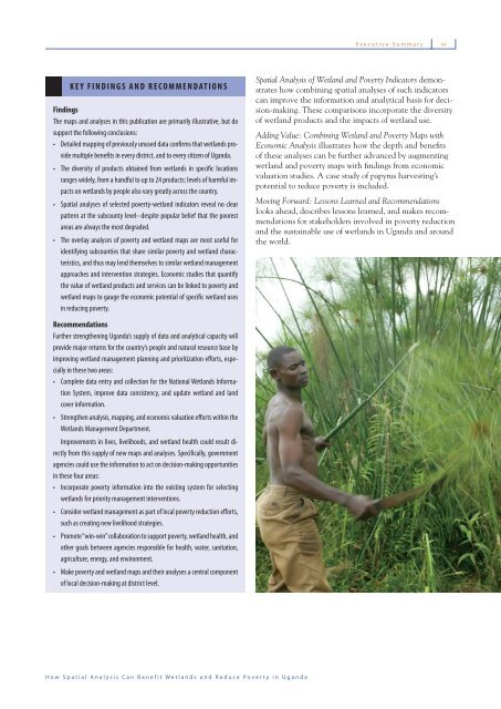
valuation studies. A case study of papyrus harvesting’s<br />
potential to reduce poverty is included.<br />
Moving Forward: Lessons Learned and Recommendations<br />
looks ahead, describes lessons learned, and makes recommendations<br />
for stakeholders involved in poverty reduction<br />
and the sustainable use of wetlands in Uganda and around<br />
the world.<br />
Recommendations<br />
Further strengthening Uganda’s supply of data and analytical capacity will<br />
provide major returns for the country’s people and natural resource base by<br />
improving wetland management planning and prioritization efforts, especially<br />
in these two areas:<br />
• Complete data entry and collection for the National Wetlands Information<br />
System, improve data consistency, and update wetland and land<br />
cover information.<br />
• Strengthen analysis, mapping, and economic valuation efforts within the<br />
Wetlands Management Department.<br />
Improvements in lives, livelihoods, and wetland health could result directly<br />
from this supply of new maps and analyses. Specifically, government<br />
agencies could use the information to act on decision-making opportunities<br />
in these four areas:<br />
• Incorporate poverty information into the existing system for selecting<br />
wetlands for priority management interventions.<br />
• Consider wetland management as part of local poverty reduction efforts,<br />
such as creating new livelihood strategies.<br />
• Promote “win-win” collaboration to support poverty, wetland health, and<br />
other goals between agencies responsible for health, water, sanitation,<br />
agriculture, energy, and environment.<br />
• Make poverty and wetland maps and their analyses a central component<br />
of local decision-making at district level.<br />
How Spatial Analysis Can Benefit Wetlands and Reduce Poverty in Uganda


