

Download Guidebook as .pdf (1.8 Mb) - Carolina Geological Society
Download Guidebook as .pdf (1.8 Mb) - Carolina Geological Society
Download Guidebook as .pdf (1.8 Mb) - Carolina Geological Society

You also want an ePaper? Increase the reach of your titles
YUMPU automatically turns print PDFs into web optimized ePapers that Google loves.
CAROLINA GEOLOGICAL SOCIETY<br />
<strong>Guidebook</strong> for 1992 Annual Meeting<br />
Pages 49-55<br />
PETROLOGY AND RESERVOIR CHARACTERISTICS OF MIDDLE AND LATE EOCENE CARBONATE<br />
STRATA IN DOWNDIP WELLS AT THE SAVANNAH RIVER SITE, SOUTH CAROLINA<br />
Paul A. Thayer<br />
Department of Earth Sciences<br />
UNCW, 601 South College Road<br />
Wilmington, N.C. 28403-3297<br />
Mary K. Harris<br />
Environmental Restoration Department<br />
Westinghouse Savannah River Company<br />
Box 616<br />
Aiken, S.C. 29802<br />
INTRODUCTION<br />
Carbonate strata of middle and late Eocene age were<br />
continuously cored in two downdip wells at the Savannah<br />
River Site (SRS) (Fig, 1). Petrographic study of the core w<strong>as</strong><br />
done to: 1) delineate lithofacies, 2) <strong>as</strong>sess the effects of<br />
diagenesis on pore system evolution, and 3) determine depositional<br />
environments.<br />
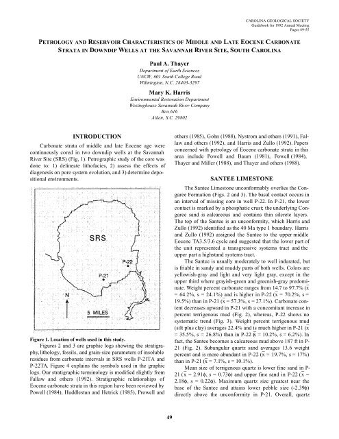
Figure 1. Location of wells used in this study.<br />
Figures 2 and 3 are graphic logs showing the stratigraphy,<br />
lithology, fossils, and grain-size parameters of insoluble<br />
residues from carbonate intervals in SRS wells P-21TA and<br />
P-22TA. Figure 4 explains the symbols used in the graphic<br />
logs. Our stratigraphic terminology is modified slightly from<br />
Fallaw and others (1992). Stratigraphic relationships of<br />
Eocene carbonate strata in this region have been reviewed by<br />
Powell (1984), Huddlestun and Hetrick (1985), Prowell and<br />
others (1985), Gohn (1988), Nystrom and others (1991), Fallaw<br />
and others (1992), and Harris and Zullo (1992). Papers<br />
concerned with petrology of Eocene carbonate strata in this<br />
area include Powell and Baum (1981), Powell (1984),<br />
Thayer and Miller (1988), and Thayer and others (1988).<br />
SANTEE LIMESTONE<br />
The Santee Limestone unconformably overlies the Congaree<br />
Formation (Figs. 2 and 3). The b<strong>as</strong>al contact occurs in<br />
an interval of missing core in well P-22. In P-21, the lower<br />
contact is marked by a phosphatic crust; the underlying Congaree<br />
sand is calcareous and contains thin silcrete layers.<br />
The top of the Santee is an unconformity, which Harris and<br />
Zullo (1992) identified <strong>as</strong> the 40 Ma type 1 boundary. Harris<br />
and Zullo (1992) <strong>as</strong>signed the Santee to the upper middle<br />
Eocene TA3.5/3.6 cycle and suggested that the lower part of<br />
the unit represented a transgressive systems tract and the<br />
upper part a highstand systems tract.<br />
The Santee is usually moderately to well indurated, but<br />
is friable in sandy and muddy parts of both wells. Colors are<br />
yellowish-gray and light and very light gray, except in the<br />
upper third where grayish-green and greenish-gray predominate.<br />
Weight percent carbonate ranges from 14.7 to 97.7% (x<br />
= 64.2%, s = 24.1%) and is higher in P-22 (x = 70.2%, s =<br />
19.5%) than in P-21 (x = 57.3%, s = 27.1%). Carbonate content<br />
decre<strong>as</strong>es upward in P-21 with a concomitant incre<strong>as</strong>e in<br />
percent terrigenous mud (Fig. 2), where<strong>as</strong>, P-22 shows no<br />
systematic trend (Fig. 3). Weight percent terrigenous mud<br />
(silt plus clay) averages 22.4% and is much higher in P-21 (x<br />
= 35.5%, s = 26.8%) than in P-22 (x = 10.2%, s = 6.2%). In<br />
fact, the Santee becomes a calcareous mud above 187 ft in P-<br />
21 (Fig. 2). Subangular quartz sand averages 13.6 weight<br />
percent and is more abundant in P-22 (x = 19.7%, s = 17%)<br />
than in P-21 (x = 7.1%, s = 10.1%).<br />
Mean size of terrigenous quartz is lower fine sand in P-<br />
21 (x = 2.91φ, s = 0.73φ) and upper fine sand in P-22 (x =<br />
2.18φ, s = 0.22φ). Maximum quartz size greatest near the<br />
b<strong>as</strong>e of the Santee and attains lower pebble size (-2.39φ)<br />
directly above the unconformity in P-21. Overall, quartz<br />
49


