Natural Resource Inventory and Assessment - Town of Guilford
Natural Resource Inventory and Assessment - Town of Guilford
Natural Resource Inventory and Assessment - Town of Guilford

You also want an ePaper? Increase the reach of your titles
YUMPU automatically turns print PDFs into web optimized ePapers that Google loves.
8<br />
Source <strong>of</strong> Data<br />
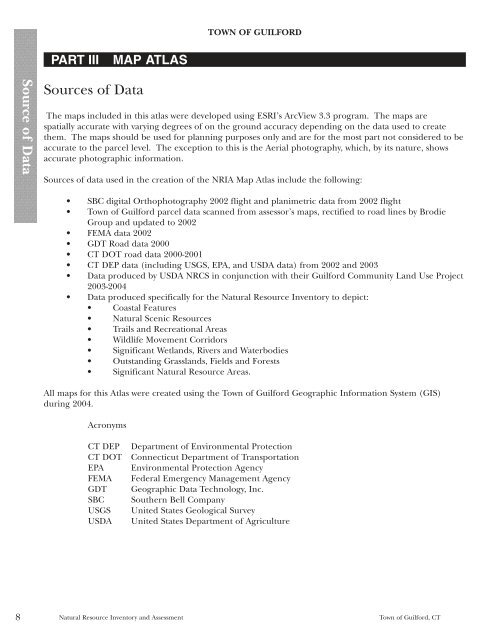
PART III MAP ATLAS<br />
Sources <strong>of</strong> Data<br />
TOWN OF GUILFORD<br />
The maps included in this atlas were developed using ESRI’s ArcView 3.3 program. The maps are<br />
spatially accurate with varying degrees <strong>of</strong> on the ground accuracy depending on the data used to create<br />
them. The maps should be used for planning purposes only <strong>and</strong> are for the most part not considered to be<br />
accurate to the parcel level. The exception to this is the Aerial photography, which, by its nature, shows<br />
accurate photographic information.<br />
Sources <strong>of</strong> data used in the creation <strong>of</strong> the NRIA Map Atlas include the following:<br />
• SBC digital Orthophotography 2002 flight <strong>and</strong> planimetric data from 2002 flight<br />
• <strong>Town</strong> <strong>of</strong> <strong>Guilford</strong> parcel data scanned from assessor’s maps, rectified to road lines by Brodie<br />
Group <strong>and</strong> updated to 2002<br />
• FEMA data 2002<br />
• GDT Road data 2000<br />
• CT DOT road data 2000-2001<br />
• CT DEP data (including USGS, EPA, <strong>and</strong> USDA data) from 2002 <strong>and</strong> 2003<br />
• Data produced by USDA NRCS in conjunction with their <strong>Guilford</strong> Community L<strong>and</strong> Use Project<br />
2003-2004<br />
• Data produced specifically for the <strong>Natural</strong> <strong>Resource</strong> <strong>Inventory</strong> to depict:<br />
• Coastal Features<br />
• <strong>Natural</strong> Scenic <strong>Resource</strong>s<br />
• Trails <strong>and</strong> Recreational Areas<br />
• Wildlife Movement Corridors<br />
• Significant Wetl<strong>and</strong>s, Rivers <strong>and</strong> Waterbodies<br />
• Outst<strong>and</strong>ing Grassl<strong>and</strong>s, Fields <strong>and</strong> Forests<br />
• Significant <strong>Natural</strong> <strong>Resource</strong> Areas.<br />
All maps for this Atlas were created using the <strong>Town</strong> <strong>of</strong> <strong>Guilford</strong> Geographic Information System (GIS)<br />
during 2004.<br />
Acronyms<br />
CT DEP Department <strong>of</strong> Environmental Protection<br />
CT DOT Connecticut Department <strong>of</strong> Transportation<br />
EPA Environmental Protection Agency<br />
FEMA Federal Emergency Management Agency<br />
GDT Geographic Data Technology, Inc.<br />
SBC Southern Bell Company<br />
USGS United States Geological Survey<br />
USDA United States Department <strong>of</strong> Agriculture<br />
<strong>Natural</strong> <strong>Resource</strong> <strong>Inventory</strong> <strong>and</strong> <strong>Assessment</strong> <strong>Town</strong> <strong>of</strong> <strong>Guilford</strong>, CT