Natural Resource Inventory and Assessment - Town of Guilford
Natural Resource Inventory and Assessment - Town of Guilford
Natural Resource Inventory and Assessment - Town of Guilford

Create successful ePaper yourself
Turn your PDF publications into a flip-book with our unique Google optimized e-Paper software.
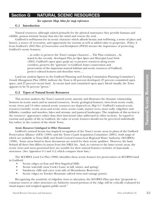
Section G NATURAL SCENIC RESOURCES<br />
G.1 Introduction<br />
See separate Map Atlas for map references<br />
<strong>Natural</strong> resources, although valued primarily for the physical sustenance they provide humans <strong>and</strong><br />
wildlife, possess intrinsic beauty that stirs the mind <strong>and</strong> renews the soul.<br />
<strong>Guilford</strong> is well-known for its scenic character which affords beauty <strong>and</strong> well-being, a sense <strong>of</strong> place <strong>and</strong><br />
history, a source <strong>of</strong> recreation, <strong>and</strong> opportunity for tourism as well as added value to properties. Policy A<br />
from <strong>Guilford</strong>’s 2002 Plan <strong>of</strong> Conservation <strong>and</strong> Development (POCD) stresses the importance <strong>of</strong> protecting<br />
<strong>Guilford</strong>’s scenic features:<br />
…in order to preserve the <strong>Town</strong>’s unique character.… The Plan continues ...As<br />
stated in the recently developed Plan for Open Space <strong>and</strong> Municipal L<strong>and</strong> Needs<br />
(2001), <strong>Guilford</strong>’s open space goals are to preserve resources along scenic<br />
corridors, preserve the “gateways” to <strong>Guilford</strong>, foster conservation <strong>and</strong><br />
preservation <strong>of</strong> the important natural habitats <strong>and</strong> scenic resources <strong>of</strong> <strong>Guilford</strong>,<br />
protect cultural features <strong>and</strong> shoreline views….<br />
L<strong>and</strong> use analysis figures in the <strong>Guilford</strong> Planning <strong>and</strong> Zoning Commission Planning Committee’s<br />
Growth Management Plan (2004) indicate the <strong>Town</strong> is 46 percent developed, 27 percent committed open<br />
space, <strong>and</strong> 27 percent vacant l<strong>and</strong>. As vacant l<strong>and</strong> <strong>and</strong> committed open space blend visually, the <strong>Town</strong><br />
appears to be 54 percent “green.”<br />
G.2 Types <strong>of</strong> <strong>Natural</strong> Scenic <strong>Resource</strong>s<br />
This section analyzes the <strong>Town</strong>’s natural scenic amenity <strong>and</strong> illustrates the dynamic relationship<br />
between its scenic assets <strong>and</strong> its natural resources. Scenic geological features, views from scenic roads,<br />
scenic rivers <strong>and</strong> 14 other natural scenic resources are depicted on Map G-1 <strong>Guilford</strong>’s natural scenic<br />
resources include: scenic areas <strong>and</strong> scenic views, scenic roads, mature trees, stone walls, ridgelines <strong>and</strong><br />
hillsides, coastline <strong>and</strong> marshes, lakes <strong>and</strong> streams, <strong>and</strong> pastoral l<strong>and</strong>scapes. The emphasis <strong>of</strong> this section is<br />
the resources’ appearance rather than their functional value addressed in other sections. In regard to<br />
tourism <strong>and</strong> quality <strong>of</strong> life in <strong>Guilford</strong>, the value <strong>of</strong> scenic features should not be perceived individually<br />
but rather, in the context <strong>of</strong> the whole <strong>Town</strong>.<br />
Scenic <strong>Resource</strong>s Catalogued in Other Documents<br />
<strong>Guilford</strong>’s natural beauty has inspired recognition <strong>of</strong> the <strong>Town</strong>’s scenic areas in plans <strong>of</strong> the <strong>Guilford</strong><br />
Preservation Alliance (GPA) (1995) <strong>and</strong> the <strong>Town</strong>’s L<strong>and</strong> Acquisition Committee (2001), both maps <strong>of</strong><br />
which are available at <strong>Town</strong> Hall, <strong>and</strong> South Central Connecticut Regional Water Authority (SCCRWA)<br />
(1996). Some areas listed in these documents are noted for their scenic qualities. However, the basis<br />
behind all three lists differs in intent from this NRIA list. And, in contrast to the latter scenic areas, the<br />
scenic views <strong>and</strong> areas presented here are notable for their natural features exclusive <strong>of</strong> man-made ..<br />
structures. (See Appendices G-1 <strong>and</strong> G-2, which compare these lists.)<br />
The SCCRWA L<strong>and</strong> Use Plan (1996) identifies these scenic features for preservation on SCCRWA l<strong>and</strong><br />
in <strong>Guilford</strong>:<br />
• Scenic ridges on East <strong>and</strong> West Sugarloaf Hills<br />
• Scenic waterfall (near Cook’s Lane; in fall, winter, <strong>and</strong> spring)<br />
• S<strong>and</strong>stone cliffs <strong>and</strong> caves (east side <strong>of</strong> Menunketuc Reservoir)<br />
• Scenic ridges on Totoket Mountain (afford views <strong>and</strong> vantage points)<br />
Recognizing the sensitivity <strong>of</strong> ridgeline views to alteration, the SCCRWA Plan says that “proposals to<br />
construct towers or other structures on Authority owned portions <strong>of</strong> the ridge will be critically evaluated for<br />
visual impact <strong>and</strong> weighed against public need.”<br />
<strong>Natural</strong> <strong>Resource</strong> <strong>Inventory</strong> <strong>and</strong> <strong>Assessment</strong> <strong>Town</strong> <strong>of</strong> <strong>Guilford</strong>, CT G1<br />
<strong>Natural</strong> Scenic <strong>Resource</strong>s