GREEN MOUNTAIN SCENIC BYWAY - Florida Scenic Highways
GREEN MOUNTAIN SCENIC BYWAY - Florida Scenic Highways
GREEN MOUNTAIN SCENIC BYWAY - Florida Scenic Highways
- No tags were found...
Create successful ePaper yourself
Turn your PDF publications into a flip-book with our unique Google optimized e-Paper software.
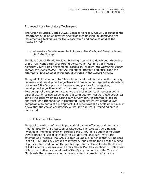
SECTION 7- BACKGROUND CONDITIONS ANALYSISPROTECTION TECHNIQUESProposed Non-Regulatory TechniquesThe Green Mountain <strong>Scenic</strong> Byway Corridor Advocacy Group understands theimportance of being as creative and flexible as possible in identifying andimplementing techniques for the preservation and enhancement of theByway Corridor.Alternative Development Techniques – The Ecological Design Manualfor Lake CountyThe East Central <strong>Florida</strong> Regional Planning Council has developed, through agrant from <strong>Florida</strong> Fish and Wildlife Conservation Commission’s <strong>Florida</strong>Advisory Council on Environmental Education Program, the Ecological DesignManual for Lake County. The CAG intends to promote and encourage thealternative development techniques illustrated in the Design Manual.The goal of the manual is to “illustrate workable solutions to conflicts arisingbetween land development objectives and protection of regional scale naturalresources.” It offers practical ideas and suggestions for integratingdevelopment objectives and natural resource protection needs.Twelve typical development scenarios are presented, each representing adifferent set of ecological conditions in Lake County. Most of those ecologicalconditions exist within the <strong>Scenic</strong> Byway Corridor. An alternative designapproach for each condition is illustrated. Each alternative design allowscomparable amounts of development, but structures the development in sucha way that the ecological integrity of the site and the surrounding area isconserved.Public Land PurchasesThe public purchase of lands is probably the most effective and permanentmethod used for the protection of resources. The CAG was very heavilyinvolved in the failed effort to purchase the 1,400-acre Sugarloaf MountainDevelopment of Regional Impact for use as a regional park. While theattempt was fruitless, the CAG did gain valuable experience that will be usedin the future. The CAG intends to inventory lands within the Corridor in needof preservation and pursue the public acquisition of those lands. The Friendsof Lake Apopka Greenways and Trails Master Plan has identified 1,000 acresof forested wetlands located east of the Byway and north of the Town ofMontverde that show substantial potential for the creation of a nature53


