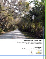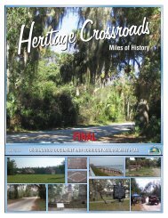
GREEN MOUNTAIN SCENIC BYWAY - Florida Scenic Highways
GREEN MOUNTAIN SCENIC BYWAY - Florida Scenic Highways
GREEN MOUNTAIN SCENIC BYWAY - Florida Scenic Highways
- No tags were found...

Create successful ePaper yourself
Turn your PDF publications into a flip-book with our unique Google optimized e-Paper software.
SECTION 8- UNIVERSAL CRITERIAHowey Crossroads. The Crossroads make a distinct and logical beginning forthe corridor. If, in the future, effort is made toward a Lake Apopka Loopsystem of <strong>Scenic</strong> <strong>Highways</strong>, the Loop would make the turn north on LakeCounty Road 561 at this point.The corridor runs generally south and east along CR 455 for approximately10 miles to the intersection of CR 455 and CR Old 50, known locally asMontverde Junction. The Corridor Advocacy Group had originally intended toterminate the corridor at this point. For several reasons, it was decided tocontinue the corridor an additional 2 ½ miles east on CR Old 50 to the Lakeand Orange County line.First, the Lake and Orange County line is also the Town limits of the Town ofOakland. There is the possibility that the Town of Oakland will be forming aCorridor Advocacy Group to seek <strong>Scenic</strong> Highway designation for OrangeCounty Road 438 through Oakland. Lake County Road Old 50 becomesOrange County Road 438 at the county line.Second, the trailhead complex for the West Orange Trail is located at theLake and Orange County line, and extending the corridor will provide accessto the trail.Third, Lake County has acquired abandoned railroad right of way adjacent toCR Old 50 for the proposed South Lake Trail, which will join the West OrangeTrail at the County Line Station.Implementation of the FOLA Greenways and Trails Master Plan will greatlyincrease access to a variety of resources. In addition, failing the creation of aSugarloaf Mountain regional park, access to the Saint Johns River WaterManagement District’s Lake Apopka Restoration Area from the Byway couldbe achieved by the purchase of relatively small land parcels. The Districtowns two abutting parcels, which are currently too small to provide access.Increasing the size of either of these two parcels would provide opportunitiesfor access to the Restoration Area from the Byway.Access to Lake Apopka has been provided by the boat ramp owned by theTown of Montverde. Due to extremely low lake levels, the boat ramp iscurrently closed. The Town has been working with the Water ManagementDistrict and various state agencies to improve the ramp so that it can beused during periods of low lake levels.71