User Guide - Digimap
User Guide - Digimap
User Guide - Digimap
- No tags were found...

Create successful ePaper yourself
Turn your PDF publications into a flip-book with our unique Google optimized e-Paper software.
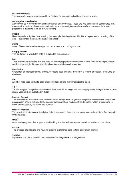
eal-world objectThe real-world feature represented by a feature, for example, a building, a fence, a wood.rectangular coordinatesAlso known as x-y coordinates and as eastings and northings. These are two-dimensional coordinates thatmeasure the position of any point relative to an arbitrary origin on a plane surface (for example, a mapprojection, a digitising table or a VDU screen).stippleUsed to produce light or dark shading (for example, building /water fill); this is dependent on spacing of thedots – the denser the dots, the darker the effect.stringA set of items that can be arranged into a sequence according to a rule.supply formatThe file format in which the data is supplied to the customer.tagTags are unique numbers that are used for identifying specific information in TIFF files, for example, imagewidth, image length, bits per sample, photo interpretation and resolution.terminatorCharacter, or character string, or field, or record used to signal the end of a record, or section, or volume ordatabase.tileA unit of map used to divide large areas into regular and more manageable sizes.TIFFTIFF is a tagged image file format-based file format for storing and interchanging raster images with the mostrecent version (6.0) published in 1992.transfer formatThe format used to transfer data between computer systems. In general usage this can refer not only to theorganisation of data but also to the associated information, such as attribute codes, which are required inorder to successfully complete the transfer.transfer mediumThe physical medium on which digital data is transferred from one computer system to another. For example,compact disc.UNIX ®An operating system that supports multitasking and is used by many workstations and mini computers.updateThe process of adding to and revising existing digital map data to take account of change.volumeA physical unit of the transfer medium such as a single disk or a single DVD.1:50 000 Scale Colour Raster and Gazetteer technical specification annexe A v2.0.1 – 01/2008 © Crown copyright Page 28 of 33