User Guide - Digimap
User Guide - Digimap
User Guide - Digimap
- No tags were found...

You also want an ePaper? Increase the reach of your titles
YUMPU automatically turns print PDFs into web optimized ePapers that Google loves.
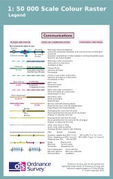
Chapter 3Scale1:50 000 Scale Colour Raster is derived from the source data used to create its graphic counterpart, theOS Landranger Map series.Generalisation is used to emphasise, simplify, select and sometimes omit features to produce a cartographicrepresentation of the landscape at a scale of 1:50 000.The nominal scale of the product is 1:50 000, but recommended minimum-to-maximum scale range is1:15 000 to 1:60 000 scale.It is best viewed between 1:20 000 and 1:50 000 scale.Coordinates1:50 000 Scale Colour Raster is available in National Grid coordinates, which are expressed in metresrelative to an origin set to a point west of the Isles of Scilly. These coordinates can easily be spatially relatedto other surveys, drawings, datasets or Ordnance Survey products. Customers can visit the British NationalGrid pages of Ordnance Survey’s website for more information.Coverage1:50 000 Scale Raster is supplied in standard 20 km by 20 km tiles aligned to the National Grid.1:50 000 Scale Colour Raster and Gazetteer user guide chapter 3 v2.0.1 – 01/2008 © Crown copyright Page 9 of 33