Storm Data and Unusual Weather Phenomena - CIG
Storm Data and Unusual Weather Phenomena - CIG
Storm Data and Unusual Weather Phenomena - CIG
- No tags were found...
You also want an ePaper? Increase the reach of your titles
YUMPU automatically turns print PDFs into web optimized ePapers that Google loves.
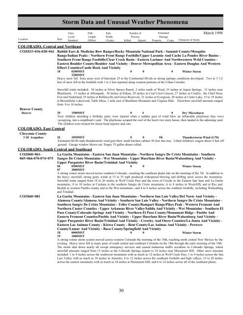
<strong>Storm</strong> <strong>Data</strong> <strong>and</strong> <strong>Unusual</strong> <strong>Weather</strong> <strong>Phenomena</strong>TimePath PathNumber ofEstimatedLocal/ Length WidthPersonsDamageLocation DateSt<strong>and</strong>ard (Miles) (Yards) Killed Injured Property Crops Character of <strong>Storm</strong>March 1998COLORADO, Central <strong>and</strong> NortheastCOZ033>036-038>041 Rabbit Ears & Medicine Bow Ranges/Rocky Mountain National Park - Summit County/MosquitoRange/Indian Peaks - Northern Front Range Foothills/Upper Laramie And Cache La Poudre River Basins -Southern Front Range Foothills/Clear Creek Basin - Eastern Larimer And Northwestern Weld Counties -Eastern Boulder County/Boulder And Vicinity - Denver Metropolitan Area - Eastern Douglas And WesternElbert Counties/Castle Rock And Vicinity18 0200MST2200MST0 00 Winter <strong>Storm</strong>Heavy snow fell from areas west of Interstate 25 to the Continental Divide as strong upslope conditions developed. Two to 3 1/2feet of snow fell in the foothills with 1 to 2 feet reported along western portions of the Urban Corridor.Snowfall totals included: 38 inches at Silver Spruce Ranch, 2 miles south of Ward, 35 inches at Aspen Springs, 33 inches nearBlackhawk, 31 inches at Allenspark, 30 inches at Eldora, 29 inches at Coal Creel Canyon, 27 inches at Conifer, the Chief HosaExit <strong>and</strong> Nederl<strong>and</strong>, 25 inches at Rollinsville <strong>and</strong> Gross Reservoir, 21 inches at Evergreen, 20 inches at Carter Lake, 15 to 19 inchesat Broomfield, Lakewood, Table Mesa, 1 mile east of Buckhorn Mountain <strong>and</strong> Virginia Dale. Elsewhere snowfall amounts rangedfrom 8 to 14 inches.Denver CountyDenver 29 1500MST0 40 Dry MicroburstFour children attending a birthday party were injured when a sudden gust of wind blew an inflateable playhouse they wer eoccupying, into a neighbour's yard. The playhouse scraped the roof of the host's two story house, then l<strong>and</strong>ed in the adjoining yard.The children were treated for minor head injuries <strong>and</strong> cuts.COLORADO, East CentralCheyenne County3 SE Arapahoe 26 1830MST0 0 1KThunderstorm Wind (G70)Estimated 60-80 mph thunderstorm wind gust blew small kitchen cabinet 30 feet into tree. Lifted children's wagon about 4 feet offground. Garage window blown out. Empty 55 gallen drums rolled.COLORADO, South Central <strong>and</strong> SoutheastCOZ060>061- La Garita Mountains - Eastern San Juan Mountains - Northern Sangre De Cristo Mountains - Southern065>066-070-074>075 Sangre De Cristo Mountains - Wet Mountains - Upper Huerfano River Basin/Walsenburg And Vicinity -Upper Purgatoire River Basin/Trinidad And Vicinity06 0500MST0 0Winter <strong>Storm</strong>07 2000MSTA strong winter storm moved across southern Colorado...reaching the southeast plains late on the morning of the 7th. In addition tothe heavy snowfall, strong gusty winds at 15 to 35 mph produced widespread blowing <strong>and</strong> drifting snow across the mountains.Snowfall totals ranged from 18 to 26 inches at Wolf Creek Pass <strong>and</strong> the town of Creede in the Eastern San Juan <strong>and</strong> La Garitamountains...8 to 10 inches at Cuchara in the southern Sangre de Cristo mountains...6 to 8 inches in Westcliffe <strong>and</strong> at Rye <strong>and</strong>Beulah in western Pueblo county <strong>and</strong> in the Wet mountains...<strong>and</strong> 4 to 6 inches across the southern foothills, including Walsenburg<strong>and</strong> Trinidad.COZ060>081 La Garita Mountains - Eastern San Juan Mountains - Northern San Luis Valley/Del Norte And Vicinity -Alamosa County/Alamosa And Vicinity - Southern San Luis Valley - Northern Sangre De Cristo Mountains -Southern Sangre De Cristo Mountains - Teller County/Rampart Range/Pikes Peak - Western Fremont AndNorthern Custer Counties - Upper Arkansas River Valley/Salida And Vicinity - Wet Mountains - Southern ElPaso County/Colorado Springs And Vicinity - Northern El Paso County/Monument Ridge - Pueblo AndEastern Fremont Counties/Pueblo And Vicinity - Upper Huerfano River Basin/Walsenburg And Vicinity -Upper Purgatoire River Basin/Trinidad And Vicinity - Crowley And Otero Counties/La Junta And Vicinity -Eastern Las Animas County - Kiowa County - Bent County/Las Animas And Vicinity - ProwersCounty/Lamar And Vicinity - Baca County/Springfield And Vicinity18 0000MST0 0Winter <strong>Storm</strong>19 1000MSTA strong winter storm system moved across western Colorado the morning of the 18th, reaching north central New Mexico by theevening. Heavy snow fell in many parts of south central <strong>and</strong> southeast Colorado on the 18th through the early morning of the 19th.The storm shut down nearly all except emergency services <strong>and</strong> caused numerous traffic accidents in Colorado Springs, wheresnowfall amounts ranged from 15 inches at the Colorado Springs airport to 34 inches near Monument Hill. Other snow amountsincluded: 1 to 4 inches across the southwest mountains with as much as 12 inches at Wolf Creek Pass, 1 to 4 inches across the SanLuis Valley with as much as 10 inches in Antonito, 4 to 12 inches across the southeast foothills <strong>and</strong> high valleys, 15 to 20 inchesacross the eastern mountains with as much as 34 inches at Monument Hill, <strong>and</strong> 6 to 14 inches across all of the southeast plains.30 24


