Part A - EIA 400 kV OHTL Stp - мепÑо а.д.
Part A - EIA 400 kV OHTL Stp - мепÑо а.д.
Part A - EIA 400 kV OHTL Stp - мепÑо а.д.

You also want an ePaper? Increase the reach of your titles
YUMPU automatically turns print PDFs into web optimized ePapers that Google loves.
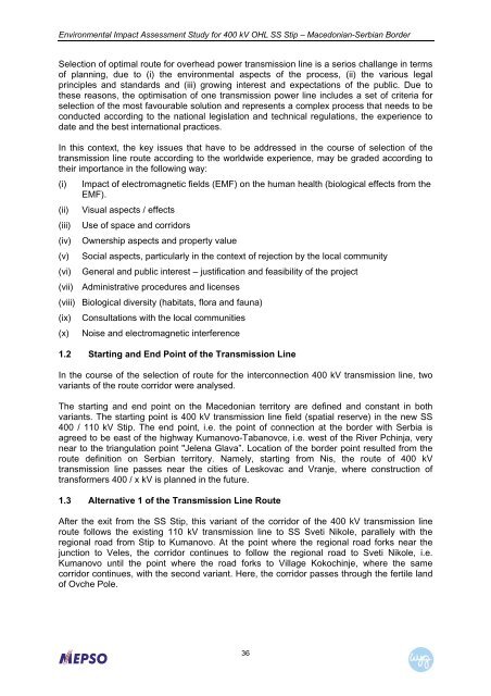
Environmental Impact Assessment Study for <strong>400</strong> <strong>kV</strong> OHL SS Stip – Macedonian-Serbian BorderSelection of optimal route for overhead power transmission line is a serios challange in termsof planning, due to (i) the environmental aspects of the process, (ii) the various legalprinciples and standards and (iii) growing interest and expectations of the public. Due tothese reasons, the optimisation of one transmission power line includes a set of criteria forselection of the most favourable solution and represents a complex process that needs to beconducted according to the national legislation and technical regulations, the experience todate and the best international practices.In this context, the key issues that have to be addressed in the course of selection of thetransmission line route according to the worldwide experience, may be graded according totheir importance in the following way:(i) Impact of electromagnetic fields (EMF) on the human health (biological effects from theEMF).(ii) Visual aspects / effects(iii) Use of space and corridors(iv) Ownership aspects and property value(v) Social aspects, particularly in the context of rejection by the local community(vi) General and public interest – justification and feasibility of the project(vii) Administrative procedures and licenses(viii) Biological diversity (habitats, flora and fauna)(ix) Consultations with the local communities(x) Noise and electromagnetic interference1.2 Starting and End Point of the Transmission LineIn the course of the selection of route for the interconnection <strong>400</strong> <strong>kV</strong> transmission line, twovariants of the route corridor were analysed.The starting and end point on the Macedonian territory are defined and constant in bothvariants. The starting point is <strong>400</strong> <strong>kV</strong> transmission line field (spatial reserve) in the new SS<strong>400</strong> / 110 <strong>kV</strong> Stip. The end point, i.e. the point of connection at the border with Serbia isagreed to be east of the highway Kumanovo-Tabanovce, i.e. west of the River Pchinja, verynear to the triangulation point "Jelena Glava”. Location of the border point resulted from theroute definition on Serbian territory. Namely, starting from Nis, the route of <strong>400</strong> <strong>kV</strong>transmission line passes near the cities of Leskovac and Vranje, where construction oftransformers <strong>400</strong> / x <strong>kV</strong> is planned in the future.1.3 Alternative 1 of the Transmission Line RouteAfter the exit from the SS Stip, this variant of the corridor of the <strong>400</strong> <strong>kV</strong> transmission lineroute follows the existing 110 <strong>kV</strong> transmission line to SS Sveti Nikole, parallely with theregional road from Stip to Kumanovo. At the point where the regional road forks near thejunction to Veles, the corridor continues to follow the regional road to Sveti Nikole, i.e.Kumanovo until the point where the road forks to Village Kokochinje, where the samecorridor continues, with the second variant. Here, the corridor passes through the fertile landof Ovche Pole.36