Strategic Flood Risk Assessment - Wiltshire Council
Strategic Flood Risk Assessment - Wiltshire Council
Strategic Flood Risk Assessment - Wiltshire Council
You also want an ePaper? Increase the reach of your titles
YUMPU automatically turns print PDFs into web optimized ePapers that Google loves.
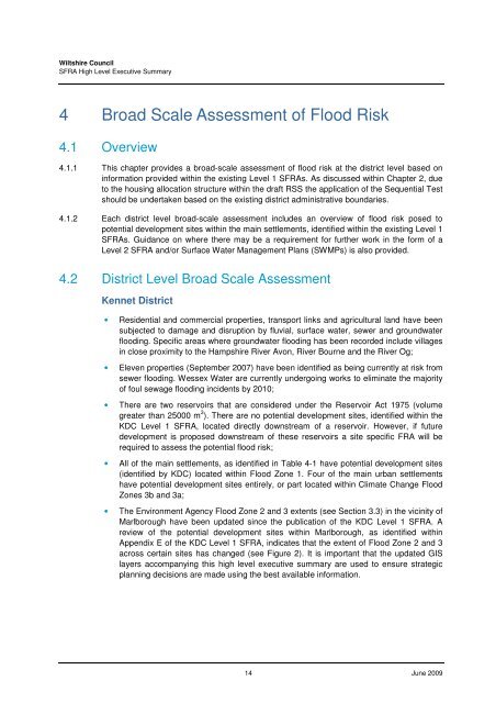
<strong>Wiltshire</strong> <strong>Council</strong>SFRA High Level Executive Summary4 Broad Scale <strong>Assessment</strong> of <strong>Flood</strong> <strong>Risk</strong>4.1 Overview4.1.1 This chapter provides a broad-scale assessment of flood risk at the district level based oninformation provided within the existing Level 1 SFRAs. As discussed within Chapter 2, dueto the housing allocation structure within the draft RSS the application of the Sequential Testshould be undertaken based on the existing district administrative boundaries.4.1.2 Each district level broad-scale assessment includes an overview of flood risk posed topotential development sites within the main settlements, identified within the existing Level 1SFRAs. Guidance on where there may be a requirement for further work in the form of aLevel 2 SFRA and/or Surface Water Management Plans (SWMPs) is also provided.4.2 District Level Broad Scale <strong>Assessment</strong>Kennet District• Residential and commercial properties, transport links and agricultural land have beensubjected to damage and disruption by fluvial, surface water, sewer and groundwaterflooding. Specific areas where groundwater flooding has been recorded include villagesin close proximity to the Hampshire River Avon, River Bourne and the River Og;• Eleven properties (September 2007) have been identified as being currently at risk fromsewer flooding. Wessex Water are currently undergoing works to eliminate the majorityof foul sewage flooding incidents by 2010;• There are two reservoirs that are considered under the Reservoir Act 1975 (volumegreater than 25000 m 3 ). There are no potential development sites, identified within theKDC Level 1 SFRA, located directly downstream of a reservoir. However, if futuredevelopment is proposed downstream of these reservoirs a site specific FRA will berequired to assess the potential flood risk;• All of the main settlements, as identified in Table 4-1 have potential development sites(identified by KDC) located within <strong>Flood</strong> Zone 1. Four of the main urban settlementshave potential development sites entirely, or part located within Climate Change <strong>Flood</strong>Zones 3b and 3a;• The Environment Agency <strong>Flood</strong> Zone 2 and 3 extents (see Section 3.3) in the vicinity ofMarlborough have been updated since the publication of the KDC Level 1 SFRA. Areview of the potential development sites within Marlborough, as identified withinAppendix E of the KDC Level 1 SFRA, indicates that the extent of <strong>Flood</strong> Zone 2 and 3across certain sites has changed (see Figure 2). It is important that the updated GISlayers accompanying this high level executive summary are used to ensure strategicplanning decisions are made using the best available information.14 June 2009


