Researcher's Guide to Sutter's Fort's Collections of Donner Party ...
Researcher's Guide to Sutter's Fort's Collections of Donner Party ...
Researcher's Guide to Sutter's Fort's Collections of Donner Party ...

You also want an ePaper? Increase the reach of your titles
YUMPU automatically turns print PDFs into web optimized ePapers that Google loves.
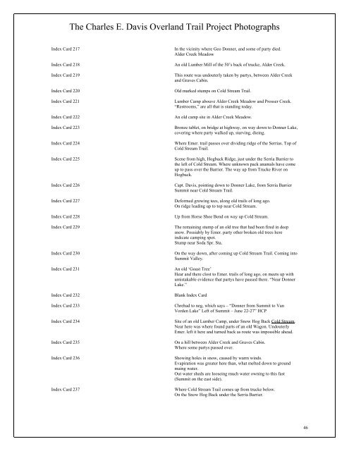
The Charles E. Davis Overland Trail Project Pho<strong>to</strong>graphs<br />
Index Card 217 In the vicinity where Geo <strong>Donner</strong>, and some <strong>of</strong> party died.<br />
Alder Creek Meadow<br />
Index Card 218 An old Lumber Mill <strong>of</strong> the 50’s back <strong>of</strong> trucke, Alder Creek.<br />
Index Card 219 This route was undouterly taken by partys, between Alder Creek<br />
and Graves Cabin.<br />
Index Card 220 Old marked stumps on Cold Stream Trail.<br />
Index Card 221 Lumber Camp abouve Alder Creek Meadow and Prosser Creek.<br />
“Restrooms,” are all that is standing <strong>to</strong>day.<br />
Index Card 222 An old camp site in Alder Creek Meadow.<br />
Index Card 223 Bronze tablet, on bridge at highway, on way down <strong>to</strong> <strong>Donner</strong> Lake,<br />
covering where party walked up, starving, dieing.<br />
Index Card 224 Where Emer. trail passes over dividing ridge <strong>of</strong> the Serrias. Top <strong>of</strong><br />
Cold Stream Trail.<br />
Index Card 225 Scene from high, Hogback Ridge, just under the Serria Barrier <strong>to</strong><br />
the left <strong>of</strong> Cold Stream. Where unknown pack anamals have come<br />
up <strong>to</strong> pass over the Barrier. The way up from Trucke River on<br />
Hogback.<br />
Index Card 226 Capt. Davis, pointing down <strong>to</strong> <strong>Donner</strong> Lake, from Serria Barrier<br />
Summit near Cold Stream Trail.<br />
Index Card 227 Deformed growing tees, along old trails <strong>of</strong> long ago.<br />
On ridge leading up <strong>to</strong> <strong>to</strong>p near Cold Stream.<br />
Index Card 228 Up from Horse Shoe Bend on way up Cold Stream.<br />
Index Card 229 The remaining stump <strong>of</strong> an old tree that had been fired in deep<br />
snow. Possiably by Emer. party other broken old trees here<br />
indicate camping spot.<br />
Stump near Soda Spr. Sta.<br />
Index Card 230 On the way down, after coming up Cold Stream Trail. Coming in<strong>to</strong><br />
Summit Valley.<br />
Index Card 231 An old ‘Goast Tree’<br />
Hear and there clost <strong>to</strong> Emer. trails <strong>of</strong> long ago, on meets up with<br />
umistakable evidence that partys have passed there. “Near <strong>Donner</strong><br />
Lake.”<br />
Index Card 232 Blank Index Card<br />
Index Card 233 Chrehad <strong>to</strong> neg, which says – “<strong>Donner</strong> from Summit <strong>to</strong> Van<br />
Vorden Lake” Left <strong>of</strong> Summit – June 22-27” HCP<br />
Index Card 234 Site <strong>of</strong> an old Lumber Camp, under Snow Hog Back Cold Stream.<br />
Near here was where found parts <strong>of</strong> an old Wagon. Undouterly<br />
Emer. left it here and turned back as route was impossible ahead.<br />
Index Card 235 On a hill between Alder Creek and Graves Cabin.<br />
Where some partys passed over.<br />
Index Card 236 Showing holes in snow, caused by warm winds.<br />
Evapiration was greater here than, what melted down <strong>to</strong> ground<br />
maing water.<br />
Out water sheds are looseing much water owning <strong>to</strong> this fast<br />
(Summit on the east side).<br />
Index Card 237 Where Cold Stream Trail comes up from trucke below.<br />
On the Snow Hog Back under the Serria Barrier.<br />
46