Researcher's Guide to Sutter's Fort's Collections of Donner Party ...
Researcher's Guide to Sutter's Fort's Collections of Donner Party ...
Researcher's Guide to Sutter's Fort's Collections of Donner Party ...

You also want an ePaper? Increase the reach of your titles
YUMPU automatically turns print PDFs into web optimized ePapers that Google loves.
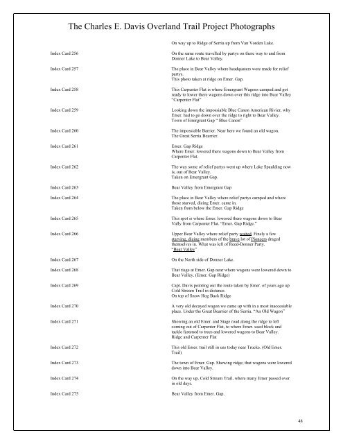
The Charles E. Davis Overland Trail Project Pho<strong>to</strong>graphs<br />
On way up <strong>to</strong> Ridge <strong>of</strong> Serria up from Van Vorden Lake.<br />
Index Card 256 On the same route travelled by partys on there way <strong>to</strong> and from<br />
<strong>Donner</strong> Lake <strong>to</strong> Bear Valley.<br />
Index Card 257 The place in Bear Valley where headquaters were made for relief<br />
partys.<br />
This pho<strong>to</strong> taken at ridge on Emer. Gap.<br />
Index Card 258 This Carpenter Flat is where Emergrant Wagons camped and got<br />
ready <strong>to</strong> lower there wagons down over this ridge in<strong>to</strong> Bear Valley<br />
“Carpenter Flat”<br />
Index Card 259 Looking down the impossiable Blue Canon American Rivier, why<br />
Emer. had <strong>to</strong> go down over the ridge <strong>to</strong> right <strong>to</strong> Bear Valley.<br />
Town <strong>of</strong> Emirgrant Gap “ Blue Canon”<br />
Index Card 260 The impossiable Barrier. Near here we found an old wagon.<br />
The Great Serria Bearrier.<br />
Index Card 261 Emer. Gap Ridge<br />
Where Emer. lowered there wagons down <strong>to</strong> Bear Valley from<br />
Carpenter Flat.<br />
Index Card 262 The way some <strong>of</strong> relief partys went up where Lake Spaulding now<br />
is, out <strong>of</strong> Bear Valley.<br />
Taken on Emergrant Gap.<br />
Index Card 263 Bear Valley from Emergrant Gap<br />
Index Card 264 The place in Bear Valley where relief partys camped and where<br />
those starved, dieing Emer. came in.<br />
Taken from below the Emer. Gap Ridge<br />
Index Card 265 This spot is where Emer. lowered there wagons down <strong>to</strong> Bear<br />
Vally from Carpenter Flat. “Emer. Gap Ridge.”<br />
Index Card 266 Upper Bear Valley where relief party waited. Finely a few<br />
starving, dieing members <strong>of</strong> the brave lot <strong>of</strong> Pioneers draged<br />
themselves in. What was left <strong>of</strong> Reed-<strong>Donner</strong> <strong>Party</strong>.<br />
“Bear Valley”<br />
Index Card 267 On the North side <strong>of</strong> <strong>Donner</strong> Lake.<br />
Index Card 268 That risge at Emer. Gap near where wagons were lowered down <strong>to</strong><br />
Bear Valley. (Emer. Gap Ridge)<br />
Index Card 269 Capt. Davis pointing out the route taken by Emer. <strong>of</strong> years ago up<br />
Cold Stream Trail in distance.<br />
On <strong>to</strong>p <strong>of</strong> Snow Hog Back Ridge<br />
Index Card 270 A very old decayed wagon we came up with in a most inaccesiable<br />
place. Under the Great Bearrier <strong>of</strong> the Serria. “An Old Wagon”<br />
Index Card 271 Showing an old Emer. and Stage road along the ridge <strong>to</strong> left<br />
coming out <strong>of</strong> Carpenter Flat, <strong>to</strong> where Emer. used block and<br />
tackle fastened <strong>to</strong> trees and lowered wagons <strong>to</strong> Bear Valley.<br />
Ridge and Carpenter Flat<br />
Index Card 272 This old Emer. trail still in use <strong>to</strong>day near Trucke. (Old Emer.<br />
Trail)<br />
Index Card 273 The <strong>to</strong>wn <strong>of</strong> Emer. Gap. Showing ridge, that wagons were lowered<br />
down in<strong>to</strong> Bear Valley.<br />
Index Card 274 On the way up, Cold Stream Trail, where many Emer passed over<br />
in old days.<br />
Index Card 275 Bear Valley from Emer. Gap.<br />
48