Mpumalanga Biodiversity Conservation Plan Handbook - bgis-sanbi
Mpumalanga Biodiversity Conservation Plan Handbook - bgis-sanbi
Mpumalanga Biodiversity Conservation Plan Handbook - bgis-sanbi

Create successful ePaper yourself
Turn your PDF publications into a flip-book with our unique Google optimized e-Paper software.
MPUMALANGA BIODIVERSITY CONSERVATION PLAN HANDBOOK<br />
10<br />
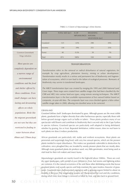
Common Greenshank<br />
Tringa nebularia<br />
Most species are<br />
completely dependent on<br />
a narrow range of<br />
environmental<br />
conditions and the food<br />
and shelter offered by<br />
those conditions. Even<br />
small changes can have<br />
lasting and devastating<br />
effects on whole<br />
populations. Birds like<br />
the migrant greenshank<br />
are not rare but they are<br />
restricted to feeding in<br />
water between about<br />
40mm and 120mm deep.<br />
TABLE 3.1 Extent of <strong>Mpumalanga</strong>’s three biomes.<br />
BIOME TOTAL SIZE (km 2 ) % OF REMAINING %TRANSFORMED<br />
MPUMALANGA NATURAL<br />
TRANSFORMATION<br />
Transformation refers to the removal or radical disturbance of natural vegetation, for<br />
example by crop agriculture, plantation forestry, mining or urban development.<br />
Transformation mostly results in a serious and permanent loss of biodiversity and fragmentation<br />
of ecosystems, which in turn lead to the failure of ecological processes. Remnants of<br />
biodiversity may survive in transformed landscapes.<br />
The MBCP transformation layer was created by merging the 1995 and 2000 National Land<br />
Cover maps. These maps were created from satellite images that had been classified (by the<br />
CSIR and ARC) into various land-use types, using remote sensing techniques. The MBCP<br />
transformation layer is the best available representation of lost natural habitat based on<br />
composite, six-year-old data. The composite layer was cross-checked against a false-colour<br />
satellite image taken in 2000, allowing mis-classified areas to be corrected.<br />
GRASSLAND<br />
Grassland defines itself: landscapes dominated by grass. Although grasses are the most visible<br />
plants, grasslands have a higher diversity than other herbaceous species, especially those with<br />
below-ground storage organs such as bulbs or tubers. These plants produce many of our<br />
spectacular wild flowers and contribute to biodiversity that is second only to the Cape Fynbos<br />
in species richness. Grassland species are particularly well adapted to being defoliated,<br />
whether by grazing, fire or frost. Repeated defoliation, within reason, does no real harm to<br />
such plants nor does it reduce productivity.<br />
African grasslands are particularly old, stable and resilient ecosystems. Most plants are<br />
perennials and surprisingly long lived, with very few annual species, which are the pioneer<br />
plants needed to repair disturbance. This makes our grasslands vulnerable to destruction by<br />
cultivation; once ploughed they are invaded by weedy pioneer plants that are mostly alien.<br />
Although many grassland plants do produce seed, very little germinates, most being used as<br />
vital food for their rich rodent and insect fauna.<br />
<strong>Mpumalanga</strong>’s grasslands are mainly found in the highveld above 1000m. These are cool,<br />
M P U M A L A N G A<br />
VEGETATION (km 2 )<br />
Grassland 531 61% 298 44%<br />
Savanna 338 39% 255 25%<br />
Forest 40 0.5% 39 1%<br />
Total 874 100% 558 36%<br />
dry open landscapes, with rainfall of over 500mm/yr. Frost, hail storms and lightning strikes<br />
<strong>Biodiversity</strong><br />
are common. It is the natural occurrence of fire and these other defoliating events that favour<br />
grassland plants over woody species and help maintain the open treeless character of grasslands.<br />
Grasslands have shallowrooted vegetation with a growing season limited to about six<br />
months of the year. The nongrowing seasons are characterised by cool and dry conditions,<br />
during which time most foliage is removed or killed by frost, and dies back to ground level.<br />
CONSERVATION PLAN HANDBOOK