

corio norlane structure plan background report - City of Greater ...
corio norlane structure plan background report - City of Greater ...
corio norlane structure plan background report - City of Greater ...

You also want an ePaper? Increase the reach of your titles
YUMPU automatically turns print PDFs into web optimized ePapers that Google loves.
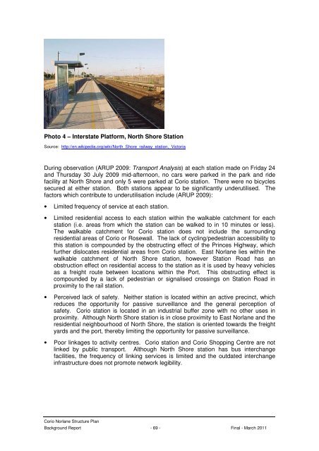
Photo 4 – Interstate Platform, North Shore Station<br />
Source: http://en.wikipedia.org/wiki/North_Shore_railway_station,_Victoria<br />
During observation (ARUP 2009: Transport Analysis) at each station made on Friday 24<br />
and Thursday 30 July 2009 mid-afternoon, no cars were parked in the park and ride<br />
facility at North Shore and only 5 were parked at Corio station. There were no bicycles<br />
secured at either station. Both stations appear to be significantly underutilised. The<br />
factors which contribute to underutilisation include (ARUP 2009):<br />
• Limited frequency <strong>of</strong> service at each station.<br />
• Limited residential access to each station within the walkable catchment for each<br />
station (i.e. areas from which the station can be walked to in 10 minutes or less).<br />
The walkable catchment for Corio station does not include the surrounding<br />
residential areas <strong>of</strong> Corio or Rosewall. The lack <strong>of</strong> cycling/pedestrian accessibility to<br />
this station is compounded by the obstructing effect <strong>of</strong> the Princes Highway, which<br />
further dislocates residential areas from Corio station. East Norlane lies within the<br />
walkable catchment <strong>of</strong> North Shore station, however Station Road has an<br />
obstruction effect on residential access to the station as it is used by heavy vehicles<br />
as a freight route between locations within the Port. This obstructing effect is<br />
compounded by a lack <strong>of</strong> pedestrian or signalised crossings on Station Road in<br />
proximity to the rail station.<br />
• Perceived lack <strong>of</strong> safety. Neither station is located within an active precinct, which<br />
reduces the opportunity for passive surveillance and the general perception <strong>of</strong><br />
safety. Corio station is located in an industrial buffer zone with no other uses in<br />
proximity. Although North Shore station is in close proximity to East Norlane and the<br />
residential neighbourhood <strong>of</strong> North Shore, the station is oriented towards the freight<br />
yards and the port, thereby limiting the opportunity for passive surveillance.<br />
• Poor linkages to activity centres. Corio station and Corio Shopping Centre are not<br />
linked by public transport. Although North Shore station has bus interchange<br />
facilities, the frequency <strong>of</strong> linking services is limited and the outdated interchange<br />
infra<strong>structure</strong> does not promote network legibility.<br />
Corio Norlane Structure Plan<br />
Background Report - 69 - Final - March 2011


