geothermal resource potential of the safford-san simon basin, arizona
geothermal resource potential of the safford-san simon basin, arizona
geothermal resource potential of the safford-san simon basin, arizona
Create successful ePaper yourself
Turn your PDF publications into a flip-book with our unique Google optimized e-Paper software.
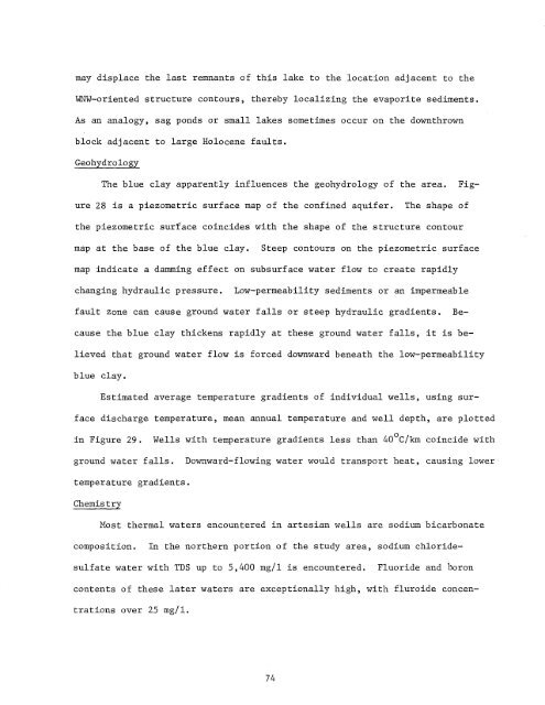
may displace <strong>the</strong> last remnants <strong>of</strong> this lake to <strong>the</strong> location adjacent to <strong>the</strong><br />
~~W-oriented structure contours, <strong>the</strong>reby localizing <strong>the</strong> evaporite sediments.<br />
As an analogy, sag ponds or small lakes sometimes occur on <strong>the</strong> downthrown<br />
block adjacent to large Holocene faults.<br />
Geohydrology<br />
The blue clay apparently influences <strong>the</strong> geohydrology <strong>of</strong> <strong>the</strong> area.<br />
Figure<br />
28 is a piezometric surface map <strong>of</strong> <strong>the</strong> confined aquifer.<br />
The shape <strong>of</strong><br />
<strong>the</strong> piezometric surface coincides with <strong>the</strong> shape <strong>of</strong> <strong>the</strong> structure contour<br />
map at <strong>the</strong> base <strong>of</strong> <strong>the</strong> blue clay.<br />
Steep contours on <strong>the</strong> piezometric surface<br />
map indicate a damming effect on subsurface water flow to create rapidly<br />
changing hydraulic pressure.<br />
Low-permeability sediments or an impermeable<br />
fault zone can cause ground water falls or steep hydraulic gradients.<br />
Because<br />
<strong>the</strong> blue clay thickens rapidly at <strong>the</strong>se ground water falls, it is believed<br />
that ground water flow is forced downward beneath <strong>the</strong> low-permeability<br />
blue clay.<br />
Estimated average temperature gradients <strong>of</strong> individual wells, using surface<br />
discharge temperature, mean annual temperature and well depth, are plotted<br />
in Figure 29.<br />
Wells with temperature gradients less than 40 o C/km coincide with<br />
ground water falls.<br />
Downward-flowing water would transport heat, causing lower<br />
temperature gradients.<br />
Chemistry<br />
Most <strong>the</strong>rmal waters encountered in artesian wells are sodium bicarbonate<br />
composition.<br />
In <strong>the</strong> nor<strong>the</strong>rn portion <strong>of</strong> <strong>the</strong> study area, sodium chloridesulfate<br />
water with TDS up to 5,400 mg/l is encountered. Fluoride and boron<br />
contents <strong>of</strong> <strong>the</strong>se later waters are exceptionally high, with fluroide concentrations<br />
over 25 mg/l.<br />
74


