Montgomery County Law Reporter - Montgomery Bar Association
Montgomery County Law Reporter - Montgomery Bar Association
Montgomery County Law Reporter - Montgomery Bar Association
You also want an ePaper? Increase the reach of your titles
YUMPU automatically turns print PDFs into web optimized ePapers that Google loves.
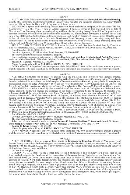
12/02/2010 MONTGOMERY COUNTY LAW REPORTER Vol. 147, No. 48<br />
09-28821<br />
ALL THAT CERTAIN lot or piece of land with the messuage thereon erected, situate at Ardmore; in Lower Merion Township,<br />
<strong>County</strong> of <strong>Montgomery</strong>, and Commonwealth of Pennsylvania, bounded and described according to a survey thereof<br />
made in 1904 by Amos W. <strong>Bar</strong>nos, Civil Engineer, as follows, to wit:<br />
BEGINNING at a point on the Southerly side of Grandview Road, as shown on said plan, at the distance of 680 feet,<br />
Southwesterly from the Westerly line of Athens Avenue, it being a corner of this and land now or late of<br />
Norristown Trust Company; thence extending along said land, the line passing through the middle of the partition wall<br />
between the house erected hereon and the one on the adjoining lot, Southeasterly, 150 feet to a point in line of land<br />
now or late of Howard A. Sutton; thence extending along said land, South 74 degrees, 35 minutes West, 40 feet to a point<br />
in line of other land now or late of the said Norristown Trust Company; thence extending along said lane,<br />
Northwesterly 150 feet to a point on the Southerly side of Grandview Road aforesaid; thence extending along said<br />
side of said road, North 74 degrees, 35 minutes East, 40 feet to the place of beginning.<br />
TITLE TO SAID PREMISES IS VESTED IN Paul A. Mariani, Jr. and Lisa Rose Mariani, h/w, by Deed from<br />
Lisa Rose DeMarco, n/k/a, Lisa Rose Mariani, dated 07/31/2000, recorded 09/18/2000 in Book 5332, Page 416.<br />
Parcel Number: 40-00-20036-00-3.<br />
Location of property: 135 Grandview Road, Ardmore, PA 19003-3112.<br />
The improvements thereon are: Residential property.<br />
Seized and taken in execution as the property of Lisa Rose Mariani, a/k/a Lisa R. Mariani and Paul A. Mariani, Jr.<br />
at the suit of OneWest Bank, FSB, s/b/m Indymac Federal Bank, FSB, f/k/a Indymac Bank, FSB. Debt: $221,254.45.<br />
Francis S. Hallinan, Attorney. I.D. #62695<br />
Above Property to be sold by ALFRED J. RICCI, ACTING SHERIFF.<br />
DOWN MONEY: A deposit of ten (10%) percent of the Price Bid or $3,000. dollars whichever amount is greater,<br />
shall be required to be paid in cash or by certified check to the Sheriff as down money on each property purchased.<br />
09-29624<br />
ALL THAT CERTAIN lot or piece of ground with the buildings and improvements thereon erected,<br />
hereditaments and appurtenances, situate in Plymouth Township, <strong>County</strong> of <strong>Montgomery</strong>, Commonwealth of Pennsylvania<br />
bounded and described according to a subdivision plan of Domenico and Maria Romano, by Henry DePaoli, Incorporated,<br />
Professional Engineers dated December 7, 1973 and last revised September 16, 1974, recorded in the Office of the<br />
Recorder of Deeds in Norristown, <strong>Montgomery</strong> <strong>County</strong>, Pennsylvania in Plan Book A-23, Page 49, as follows, to wit:<br />
BEGINNING at a point created by the intersection of the center lines of Gallagher and Belvoir Roads;<br />
thence along the following courses and distances to the point of beginning South 32 degrees, 48 minutes West,<br />
a distance of 644.42 feet to a point in the center line of Belvoir Road (33 feet wide, proposed to be widened to 80 feet);<br />
thence a distance of 153.40 feet bearing South 26 degrees, 48 minutes West; thence a distance of 237.67 feet<br />
bearing South 20 degrees, 39 minutes West to the point of beginning of Lot #5; thence a distance of 85.96 feet bearing<br />
North 82 degrees, 21 minutes West to a point of curvature; thence on a curve to the right having a radius of 144.16 feet,<br />
and having a distance of 86.50 feet measured along that curve to a point; thence a distance of 85.24 feet<br />
bearing South 28 degrees, 38 minutes West; thence a distance of 159.20 feet bearing North 61 degrees, 22 minutes West;<br />
thence a distance of 49 feet bearing North 20 degrees, 39 minutes East to the point of beginning of Lot #5.<br />
TITLE TO SAID PREMISES IS VESTED IN Joseph M. Stewart and Joanna K. Stewart, h/w and Kathleen T. Stone,<br />
by Deed from Paula De Angelis Courtney, dated 02/21/2008, recorded 03/10/2008 in Book 5685, Page 536.<br />
Parcel Number: 49-00-00529-05-2.<br />
Location of property: 1701 Romano Drive, Plymouth Meeting, PA 19462-2821.<br />
The improvements thereon are: Residential property.<br />
Seized and taken in execution as the property of Joanna K. Stewart, Kathleen T. Stone and Joseph M. Stewart,<br />
a/k/a Joseph Michael Stewart at the suit of PHH Mortgage Corporation. Debt: $305,743.60.<br />
Lauren R. Tabas, Attorney. I.D. #93337<br />
Above Property to be sold by ALFRED J. RICCI, ACTING SHERIFF.<br />
DOWN MONEY: A deposit of ten (10%) percent of the Price Bid or $3,000. dollars whichever amount is greater,<br />
shall be required to be paid in cash or by certified check to the Sheriff as down money on each property purchased.<br />
09-30052<br />
ALL THAT CERTAIN tract or piece of land, situate in Towamencin Township, <strong>County</strong> of <strong>Montgomery</strong> and<br />
State of Pennsylvania, described according to a recent survey and plan dated the 11th day of November, A.D., 1939 and<br />
revised the 4th day of August, A.D., 1954, as prepared by Stanley F. Moyer, Registered Engineer and Land Surveyor,<br />
of Souderton, Pennsylvania, as follows:<br />
Lot No. 3 on said plan.<br />
BEGINNING at a spike in the center line of the Springhouse and Sumneytown Pike, said spike<br />
four hundred sixty-six feet Southeast of the intersection of the center lines of Springhouse and Sumneytown Pike<br />
and Kriebel Road (or Green Lane); thence along other lands of Walter K. Ruth of which this was a part and<br />
crossing an iron pin, North forty degrees, twenty-five minutes East, the distance of three hundred seventy-one and<br />
twenty-five one-hundredths feet to an iron pin in line of lands now or late of Curtiss Rittenhouse; thence along the same<br />
South forty-eight degrees, ten minutes East, eighty-three feet to an iron pin; thence along lands now or late<br />
of Earl W. Haywood, South forty degrees, twenty-five minutes West, crossing an iron pin, the distance of<br />
three hundred seventy-one and twenty-five one-hundredths feet to a point in the center line of Springhouse and<br />
Sumneytown Pike; thence along the center line of Springhouse and Sumneytown Pike, North forty-eight degrees,<br />
ten minutes West, the distance of eighty-three feet to the place of beginning.<br />
— 34 —<br />
Copyright © <strong>Montgomery</strong> <strong>Bar</strong> <strong>Association</strong> 2010


