

Practical Manual - Malareo
Practical Manual - Malareo
Practical Manual - Malareo

You also want an ePaper? Increase the reach of your titles
YUMPU automatically turns print PDFs into web optimized ePapers that Google loves.
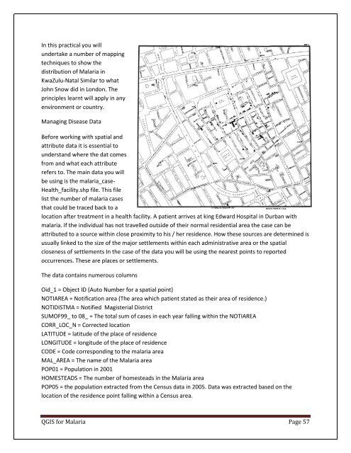
In this practical you will<br />
undertake a number of mapping<br />
techniques to show the<br />
distribution of Malaria in<br />
KwaZulu-Natal Similar to what<br />
John Snow did in London. The<br />
principles learnt will apply in any<br />
environment or country.<br />
Managing Disease Data<br />
Before working with spatial and<br />
attribute data it is essential to<br />
understand where the dat comes<br />
from and what each attribute<br />
refers to. The main data you will<br />
be using is the malaria_case-<br />
Health_facility.shp file. This file<br />
list the number of malaria cases<br />
that could be traced back to a<br />
location after treatment in a health facility. A patient arrives at king Edward Hospital in Durban with<br />
malaria. If the individual has not travelled outside of their normal residential area the case can be<br />
attributed to a source within close proximity to his / her residence. How these sources are determined is<br />
usually linked to the size of the major settlements within each administrative area or the spatial<br />
closeness of settlements In the case of the data you will be using the nearest points to reported<br />
occurrences. These are places or settlements.<br />
The data contains numerous columns<br />
Oid_1 = Object ID (Auto Number for a spatial point)<br />
NOTIAREA = Notification area (The area which patient stated as their area of residence.)<br />
NOTIDISTMA = Notified Magisterial District<br />
SUMOF99_ to 08_ = The total sum of cases in each year falling within the NOTIAREA<br />
CORR_LOC_N = Corrected location<br />
LATITUDE = latitude of the place of residence<br />
LONGITUDE = longitude of the place of residence<br />
CODE = Code corresponding to the malaria area<br />
MAL_AREA = The name of the Malaria area<br />
POP01 = Population in 2001<br />
HOMESTEADS = The number of homesteads in the Malaria area<br />
POP05 = the population extracted from the Census data in 2005. Data was extracted based on the<br />
location of the residence point falling within a Census area.<br />
QGIS for Malaria Page 57

