

Practical Manual - Malareo
Practical Manual - Malareo
Practical Manual - Malareo

You also want an ePaper? Increase the reach of your titles
YUMPU automatically turns print PDFs into web optimized ePapers that Google loves.
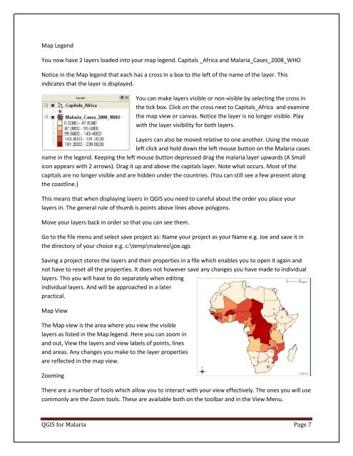
Map Legend<br />
You now have 2 layers loaded into your map legend. Capitals _Africa and Malaria_Cases_2008_WHO<br />
Notice in the Map legend that each has a cross in a box to the left of the name of the layer. This<br />
indicates that the layer is displayed.<br />
You can make layers visible or non-visible by selecting the cross in<br />
the tick box. Click on the cross next to Capitals_Africa and examine<br />
the map view or canvas. Notice the layer is no longer visible. Play<br />
with the layer visibility for both layers.<br />
Layers can also be moved relative to one another. Using the mouse<br />
left click and hold down the left mouse button on the Malaria cases<br />
name in the legend. Keeping the left mouse button depressed drag the malaria layer upwards (A Small<br />
icon appears with 2 arrows). Drag it up and above the capitals layer. Note what occurs. Most of the<br />
capitals are no longer visible and are hidden under the countries. (You can still see a few present along<br />
the coastline.)<br />
This means that when displaying layers in QGIS you need to careful about the order you place your<br />
layers in. The general rule of thumb is points above lines above polygons.<br />
Move your layers back in order so that you can see them.<br />
Go to the file menu and select save project as: Name your project as your Name e.g. Joe and save it in<br />
the directory of your choice e.g. c:\temp\malereo\joe.qgs<br />
Saving a project stores the layers and their properties in a file which enables you to open it again and<br />
not have to reset all the properties. It does not however save any changes you have made to individual<br />
layers. This you will have to do separately when editing<br />
individual layers. And will be approached in a later<br />
practical.<br />
Map View<br />
The Map view is the area where you view the visible<br />
layers as listed in the Map legend. Here you can zoom in<br />
and out, View the layers and view labels of points, lines<br />
and areas. Any changes you make to the layer properties<br />
are reflected in the map view.<br />
Zooming<br />
There are a number of tools which allow you to interact with your view effectively. The ones you will use<br />
commonly are the Zoom tools. These are available both on the toolbar and in the View Menu.<br />
QGIS for Malaria Page 7

