Reports - Mississippi Renewal
Reports - Mississippi Renewal
Reports - Mississippi Renewal
- No tags were found...

You also want an ePaper? Increase the reach of your titles
YUMPU automatically turns print PDFs into web optimized ePapers that Google loves.
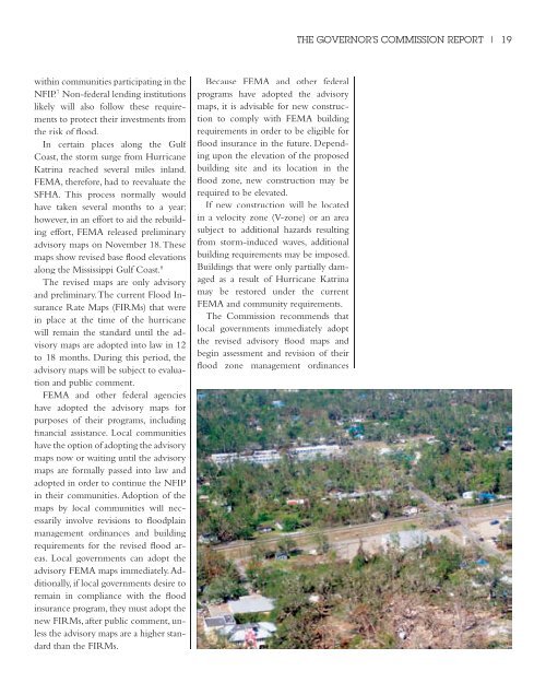
THE GOVERNOR’S COMMISSION REPORT | 19within communities participating in theNFIP. 7 Non-federal lending institutionslikely will also follow these requirementsto protect their investments fromthe risk of flood.In certain places along the GulfCoast, the storm surge from HurricaneKatrina reached several miles inland.FEMA, therefore, had to reevaluate theSFHA. This process normally wouldhave taken several months to a year;however, in an effort to aid the rebuildingeffort, FEMA released preliminaryadvisory maps on November 18. Thesemaps show revised base flood elevationsalong the <strong>Mississippi</strong> Gulf Coast. 8The revised maps are only advisoryand preliminary. The current Flood InsuranceRate Maps (FIRMs) that werein place at the time of the hurricanewill remain the standard until the advisorymaps are adopted into law in 12to 18 months. During this period, theadvisory maps will be subject to evaluationand public comment.FEMA and other federal agencieshave adopted the advisory maps forpurposes of their programs, includingfinancial assistance. Local communitieshave the option of adopting the advisorymaps now or waiting until the advisorymaps are formally passed into law andadopted in order to continue the NFIPin their communities. Adoption of themaps by local communities will necessarilyinvolve revisions to floodplainmanagement ordinances and buildingrequirements for the revised flood areas.Local governments can adopt theadvisory FEMA maps immediately. Additionally,if local governments desire toremain in compliance with the floodinsurance program, they must adopt thenew FIRMs, after public comment, unlessthe advisory maps are a higher standardthan the FIRMs.Because FEMA and other federalprograms have adopted the advisorymaps, it is advisable for new constructionto comply with FEMA buildingrequirements in order to be eligible forflood insurance in the future. Dependingupon the elevation of the proposedbuilding site and its location in theflood zone, new construction may berequired to be elevated.If new construction will be locatedin a velocity zone (V-zone) or an areasubject to additional hazards resultingfrom storm-induced waves, additionalbuilding requirements may be imposed.Buildings that were only partially damagedas a result of Hurricane Katrinamay be restored under the currentFEMA and community requirements.The Commission recommends thatlocal governments immediately adoptthe revised advisory flood maps andbegin assessment and revision of theirflood zone management ordinances