

Bulletin 51, New Jersey Geodetic Control Survey Bench Marks in ...
Bulletin 51, New Jersey Geodetic Control Survey Bench Marks in ...
Bulletin 51, New Jersey Geodetic Control Survey Bench Marks in ...

Create successful ePaper yourself
Turn your PDF publications into a flip-book with our unique Google optimized e-Paper software.
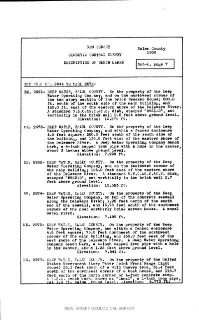
N_ JERSEY Salem County19_9GEODETIC CONTROL _Lq_VEYR_._ ]"ROl _944 TO _;AR}i2976:DK. 2_<strong>51</strong>- DEEP WATER, SAL_. COUNTY. On the property of the DeepWater Operatln_ C_an_ and on the northwest corner ofthe two eto_ section of the brlok Breaker HOuse; 600.0ft. smith of the south side of the ma<strong>in</strong> bulldln_, and180.0 ft. east of the eastern shore of the Delaware River.A standard U.S.C.&G._,&S.S. disk, stamped "29<strong>51</strong>-D". setvertically <strong>in</strong> the brick wall _.6 feet above Ereamd level.Elevation: i0o279 ft.MK. 29'73- DEEP WATER, SAL_: COUNTY. On the propert_ of the DeepWater Oporatlxlg Cc_pany_ and with<strong>in</strong> a fenced encloBure4,5 feet square; _50,0 feet seuth of the sOUth side ofthe buildlne_ and i_,0 feet east of the eaetern shore ofthe Delaware River, A Deep Water Ope_at<strong>in</strong>_ Company <strong>Bench</strong>_ark, a 4-1nob capped iron pipe with a hole <strong>in</strong> the centerabout 3 <strong>in</strong>ches above 6rtund level.El_vatlon : ?,999 ft.DK. _9S2- DEEP WATXR, SA_/ COI]HTY_. On the propsrty'of the DeepWater Operat<strong>in</strong>g Company, and on the southwest corner ofthe ma<strong>in</strong> buildln_; 165,0 feet east oP the eastern shoreof the Delaware River. A standard U.S,C.&G.S.&S.S. disk,stamped "2952-D _, set vertically <strong>in</strong> the brick wall 2,7feet above _round level._levatlen: i0._5_ ft.Ev. 2_V4- DE_P WATER, SAL_ COUNTY. On the property of the DeepWater Operat<strong>in</strong>g COmpany, on top of the concrete seawallalong the Delaware River; 1.25 feet north of the southend of the seawall, an_ 15.75 feet south of the southwestcorner of the moat northerly brlak screen l',ouee. A mortalmetal rivet.Elevat Iom : 7.499 ft.MK, 2975- DEeP V/AT_R, SAL_ COUNTY. On the property ef She DeepWater Operatln6 OOmpan_, and with<strong>in</strong> a fenced enclo_x_4.5 feet square; 75.0 feet northwest of the northwestcorner of the ma<strong>in</strong> b_ildln_, and i_5.0 feet east of theeast eho_e of the belaware River. A Deep Water C_ePat_Company <strong>Bench</strong> Mark, a 4-1neh capped iron pipe with a hole<strong>in</strong> the center, about 1,25 feet above _ound level.Elevation: 7.941 ft._K. 2977- DkEP W_T,E, Z_.L_ COUI?IX. (A_ the property of the UmltedStates Government (Leap Water Po<strong>in</strong>t F_ont Range LiehtHouse] _6.I feet s_th of a %711d Cherr_ Z_eC, _I.4 feetnorth of the northeast corner of a boat house, and 116.7feet south of the north corner of 4-foot conc_te step._ ;.°S._. _ench _ark, _own as "Canal", e 1-1nch ix, on plpe__W_ i.O ft. hel_ _ound _ve_. ._le_n£_n_" _m770 ft.NEW JERSEY GEOLOGICAL SURVEY


