

Bulletin 51, New Jersey Geodetic Control Survey Bench Marks in ...
Bulletin 51, New Jersey Geodetic Control Survey Bench Marks in ...
Bulletin 51, New Jersey Geodetic Control Survey Bench Marks in ...

You also want an ePaper? Increase the reach of your titles
YUMPU automatically turns print PDFs into web optimized ePapers that Google loves.
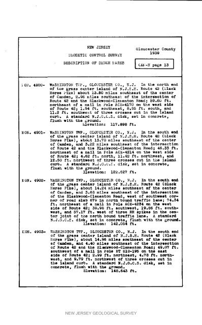
NEW JERSLq Gloucester County1959GEODETIC CONTROL SURVhXDESCRIPTION OF BENCH }lARKS I C_?_H pa_e 13 1I Of!. 4900- WASHII_GTON T_'P., GLOUCESTER CO., N.J. In the north endof the grass canter island of N.J.S.R. Route 42 (DlaekHorse Fike) about 13._0 miles southeast of the centerof Csmden, 2.96 miles southeast of the <strong>in</strong>tersectlon ofRoute 42 and the <strong>51</strong>ackwood-Clementon Road; 59.60 ft.northeast of a nail <strong>in</strong> Pole ACE-4170 on the west sideof Route 42; 1.94 ft. southeast, 8.95 ft. South, and11.2 ft. southwest of three crosses cut <strong>in</strong> the islandcurb. A standard N.J.G.C.S. disk, set <strong>in</strong> concrete,flush with the ErotLnd.61ovation : 117.898 ft.MON. 4901- WASHINGTON TWP., GLOUCESTER CO., N.J. In the south endof the &rass center island of N.J.S_H. Route 42 (blackHorse Pike), about 13.78 miles southeast of the centerof Camden, and 3.22 miles southeast of the _ntersectlonof Route 42 and the Blackwood-Clementon Road; 46.33 ft.northeast of a nail <strong>in</strong> Pole AC_-4214 on the west sideof Route 42; 4.62 ft. north, 11.42 ft. northwest, and12.50 ft. northwest of three crosses cut <strong>in</strong> the islandcurb. A standar_ R.J.O.C._. disk, set <strong>in</strong> concrete,flush with the &_ound._levation: 12_.627 ft._ON. 4902- ?._ASHINGTON TWF., GLOUCESTSR CO., N.J. In the south endof the _rass cen_er island of N.J.S.H. Route 42 (BlaokHorse Pike), about 14.24 miles southeast of the centerof Camden, and 3.68 miles southeast of the Intersectionof the Blaekwocd-Clementon Road, west of southwest cornerof road slab 679 <strong>in</strong> north bound tl,afflc lane; 74.34ft. northeast of a hall <strong>in</strong> Pole ACE-4234 on the westside of Route 42; 39.98 ft. southwest, 19.86 ft. southwest,and 5_.17 ft. west of t_ee RR spikes <strong>in</strong> the centerJo<strong>in</strong>t of the north botuld traffic lane, A sta1_dardN.J.G.C.R. disk_ set <strong>in</strong> concrete, flush with the _ro%_deElevation : 142.054 ft.MON. 4903- WASHINGTON TV_., GLOUCESTER CO., N.J. In the south endof t_ srass center islan_ of N.J.S.H. Route 42 (blaokHorse Pike), about 14.96 miles southeast of the centerof Camden_ and 4.40 miles southeast of the <strong>in</strong>tersectionOf Route 42 and the Blackwood-Clsmenton R_d; 49.07 ft.southwest of a hall <strong>in</strong> Pole BT 818-195 on the eastside of ROUte 42; 2.99 ft, northeast, 4,78 ft. noTthwest,and 9.79 ft. northwest of three Crosses cut <strong>in</strong>the Island curb. A standard R.J.O.C.S. disk, set <strong>in</strong>concrete, flush with the groundsElewatiom _ 148.6_5 £t.NEW JERSEY GEOLOGICAL SURVEY


