

Bulletin 51, New Jersey Geodetic Control Survey Bench Marks in ...
Bulletin 51, New Jersey Geodetic Control Survey Bench Marks in ...
Bulletin 51, New Jersey Geodetic Control Survey Bench Marks in ...

You also want an ePaper? Increase the reach of your titles
YUMPU automatically turns print PDFs into web optimized ePapers that Google loves.
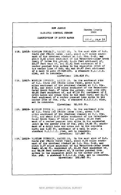
Nh_ JEESE_Camden CountySk0_ETIC CORTROL sURVEY 1939DESCRIPTION 0F BENCH MARKS [ C/__L, pabe 14]_[0_. 12916- _.I_LOW TOW:_I[ _, C;dD5:i CO. _ the east side of 5._.Route _4_ (White Horse .ike), about _.77 miles southeastOf the ov_rhe_ vladuot at S.H. Rte. S-41. m_about 0.82 _il_s southeast of _h_ Waterford-C_dar B_ookRoad; _" belsw the _round; 5_.24 feet sout*_east of,22°$7 feet eas_ of, and 52.41 feet northeast of 5center punched iron splkem <strong>in</strong> the expanslon jo<strong>in</strong>t oft_ aQ_r llne Qf R_. _; _ 5g.67 fe_t sou%h_ai_of a nail <strong>in</strong> pole BT-<strong>51</strong>8-150. A standard N.J._.C.S.d_k_ set <strong>in</strong> concr_t¢_hlevatlen: 108,418 ft.I;ON. 12917- WYNSLOW _O_NSHI_, CA_5_N LO. On the southwest sideof _o_. _ou_e _45 (White horse Pike)_ about 6.64miles sc_tneast of the overhead vla_u_t _t _._. _te._-_i, and abou_ 1.6g miles southeas_ of the Waterfo_d-Cedar BrOok Road, 4" below _he &round, n_ar pole 192_49.90 feet _ou_west of, and 47._9 ft. northwest of 2_rill h_le_ and cross cuts <strong>in</strong> the east curh_ and 21.71feet s_hwest of s _enter punened Iron spike <strong>in</strong> thecenter l_ne of Rte_ _'45, A standard N.J°G.C.S. disk,let <strong>in</strong> e_nere_e.Elevatlom: _2.065 ft.kON. 1_918- WINSLO_ TO_'_S_i_, _A_LN CO. On t/is southwest side_f _._. Route #4S (_nlte horse _k_, about _.92_iles southeas_ of the overhead viaduct at S.L'. Hie.$-41, and abou_ 2._7 mile_ southeast of t_e :_aterferd-Cedar BroOk _oad; 4" bel_ the _round; 5S°29 feetwest of _ center punched iron _plke <strong>in</strong> the expanllcajo<strong>in</strong>t _ the eenter llne of Rte. _45_ 14.95 fro southea_Of • drill hole and cross cut <strong>in</strong> the concretecurb; and 5.20 ft. southeast of a nell <strong>in</strong> pole. Astanda_ N.J.G,C.E. disk, set <strong>in</strong> conGrete.llevatlon: 117.387 ft._0N.: I_919- _INSLOW T0_SHIP, CAMDEN C0. On the west si_e of S.H.Route #4_ (Whi_e Horse Pike), about 8.$2 miles soutMeastof _he overhead viaduct at S.H. Ere. S-41, andabout _._7 miles eoutheaet of _e _aterferd-Ce_ar BrC_kReed; 40,_ ft, southwest of, _1.25 feet southwest of,and 42,04 feet northwest of, 5 center punched ironspikes <strong>in</strong> _he expansion Jo<strong>in</strong>t <strong>in</strong> the center llne ofRte. _. A s_an_a_ N._._.C.8. disk, set <strong>in</strong> concrete.Elevatlen_ 101.025 ft.NEW JERSEY GEOLOGICAL SURVEY


