1 - IntroductIon - Xbox
1 - IntroductIon - Xbox
1 - IntroductIon - Xbox

You also want an ePaper? Increase the reach of your titles
YUMPU automatically turns print PDFs into web optimized ePapers that Google loves.
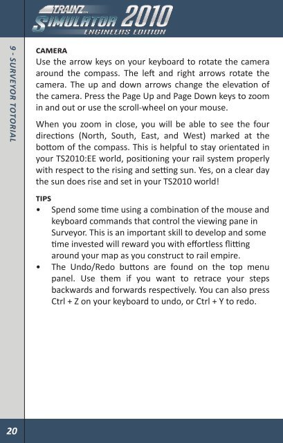
9 - surveyor totorIal<br />
Camera<br />
Use the arrow keys on your keyboard to rotate the camera<br />
around the compass. The left and right arrows rotate the<br />
camera. The up and down arrows change the elevation of<br />
the camera. Press the Page Up and Page Down keys to zoom<br />
in and out or use the scroll-wheel on your mouse.<br />
When you zoom in close, you will be able to see the four<br />
directions (North, South, East, and West) marked at the<br />
bottom of the compass. This is helpful to stay orientated in<br />
your TS2010:EE world, positioning your rail system properly<br />
with respect to the rising and setting sun. Yes, on a clear day<br />
the sun does rise and set in your TS2010 world!<br />
TIPs<br />
• Spend some time using a combination of the mouse and<br />
keyboard commands that control the viewing pane in<br />
Surveyor. This is an important skill to develop and some<br />
time invested will reward you with effortless flitting<br />
around your map as you construct to rail empire.<br />
• The Undo/Redo buttons are found on the top menu<br />
panel. Use them if you want to retrace your steps<br />
backwards and forwards respectively. You can also press<br />
Ctrl + Z on your keyboard to undo, or Ctrl + Y to redo.<br />
9.2 ToPology<br />
Let’s start by clicking on the<br />
Topology Tab (F1). It’s the Tab at<br />
the top of the Tab Panel on the<br />
far right of the screen. When<br />
clicked on, the menu will pop out<br />
to the left.<br />
Now Click the Height Up tool to<br />
activate it (each tool will have<br />
a tooltip when you move the<br />
cursor over the tool). Click LMB +<br />
hold on the radius dial, and drag<br />
it until it’s dial is roughly at the<br />
12 o’clock position. Do the same<br />
with the sensitivity dial. When you move the mouse cursor<br />
back onto the Surveyor map, it will change into a dotted<br />
circle.<br />
Place the circle around the centre of your square baseboard<br />
and Click LMB + hold. The longer you hold the LMB the higher<br />
and bigger the hill becomes. Move the mouse around while<br />
holding LMB and you can create various peaks and ridges.<br />
Don’t go overboard here as you’ll want to leave some room<br />
for your track, not that mountain ranges have ever stopped a<br />
track laying engineer.<br />
20 21<br />
9 - surveyor totorIal