Download PDF - Speleogenesis
Download PDF - Speleogenesis
Download PDF - Speleogenesis
Create successful ePaper yourself
Turn your PDF publications into a flip-book with our unique Google optimized e-Paper software.
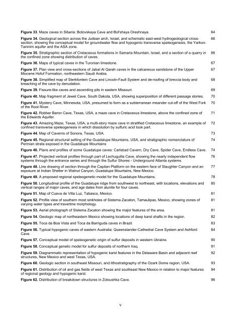
Figure 33. Maze caves in Siberia: Botovskaya Cave and Bol'shaya Oreshnaya. 64<br />
Figure 34. Geological section across the Judean arch, Israel, and schematic east-west hydrogeological cross- 66<br />
section, showing the conceptual model for groundwater flow and hypogenic transverse speleogenesis, the Yarkon-<br />
Taninim aquifer and the ASA zone.<br />
Figure 35. Stratigraphic section of Cretaceous formations in Samaria Mountain, Israel, and a section of a quarry in<br />
the confined zone showing distribution of caves.<br />
66<br />
Figure 36. Maps of typical caves in the Turonian limestone. 67<br />
Figure 37. Plan view and cross-sections of Jabal Al Qarah caves in the calcareous sandstone of the Upper<br />
Miocene Hofuf Formation, northeastern Saudi Arabia.<br />
67<br />
Figure 38. Simplified map of Sterkfontein Cave and Lincoln-Fault System and de-roofing of breccia body and<br />
breaching of the cave by denudation.<br />
68<br />
Figure 39. Fissure-like caves and ascending pits in eastern Missouri. 69<br />
Figure 40. Map fragment of Jewel Cave, South Dakota, USA, showing superposition of different passage stories. 70<br />
Figure 41. Mystery Cave, Minnesota, USA, presumed to form as a subterranean meander cut-off of the West Fork<br />
of the Root River.<br />
70<br />
Figure 42. Robber Baron Cave, Texas, USA, a maze cave in Cretaceous limestone, above the confined zone of<br />
the Edwards Aquifer.<br />
71<br />
Figure 43. Amazing Maze, Texas, USA, a multi-story maze cave in stratified Cretaceous limestone, an example of<br />
confined transverse speleogenesis in which dissolution by sulfuric acid took part.<br />
72<br />
Figure 44. Map of Caverns of Sonora, Texas, USA. 73<br />
Figure 45. Regional structural setting of the Guadalupe Mountains, USA, and stratigraphic nomenclature of<br />
Permian strata exposed in the Guadalupe Mountains<br />
74<br />
Figure 46. Plans and profiles of some Guadalupe caves: Carlsbad Cavern, Dry Cave, Spider Cave, Endless Cave. 74<br />
Figure 47. Projected vertical profiles through part of Lechuguilla Cave, showing the nearly independent flow<br />
systems through the entrance series and through the Sulfur Shores - Underground Atlanta systems.<br />
76<br />
Figure 48. Line drawing of section through the Capitan Platform on the eastern face of Slaughter Canyon and an<br />
exposure at Indian Shelter in Walnut Canyon, Guadalupe Mountains, New Mexico.<br />
77<br />
Figure 49. A proposed regional speleogenetic model for the Guadalupe Mountains. 78<br />
Figure 50. Longitudinal profile of the Guadalupe ridge from southwest to northeast, with locations, elevations and<br />
vertical ranges of major caves, and age dates from alunite for four caves.<br />
80<br />
Figure 51. Map of Cueva de Villa Luz, Tabasco, Mexico. 81<br />
Figure 52. Profile view of southern most sinkholes of Sistema Zacaton, Tamaulipas, Mexico, showing zones of<br />
varying water types and travertine morphology.<br />
81<br />
Figure 53. Aerial photograph of Sistema Zacaton showing the major features of the area. 81<br />
Figure 54. Geologic map of northeastern Mexico showing locations of deep karst shafts in the region. 82<br />
Figure 55. Toca da Boa Vista and Toca da Barriguda caves in Brazil. 83<br />
Figure 56. Typical hypogenic caves of eastern Australia: Queenslander-Cathedral Cave System and Ashford<br />
Cave.<br />
84<br />
Figure 57. Conceptual model of speleogenetic origin of sulfur deposits in western Ukraine. 90<br />
Figure 58. Conceptual genetic model for sulfur deposits of northern Iraq. 91<br />
Figure 59. Diagrammatic representation of hypogenic karst features in the Delaware Basin and adjacent reef<br />
structures, New Mexico and west Texas, USA.<br />
92<br />
Figure 60. Geologic section in southeast Missouri, and lithostratigraphy of the Ozark Dome region, USA. 93<br />
Figure 61. Distribution of oil and gas fields of west Texas and southeast New Mexico in relation to major features<br />
of regional geology and hypogenic karst.<br />
94<br />
Figure 62. Distribution of breakdown structures in Zoloushka Cave. 96<br />
v


