PERTH, FRIDAY, 5 JULY 1991 No. 87 - State Law Publisher - The ...
PERTH, FRIDAY, 5 JULY 1991 No. 87 - State Law Publisher - The ...
PERTH, FRIDAY, 5 JULY 1991 No. 87 - State Law Publisher - The ...
You also want an ePaper? Increase the reach of your titles
YUMPU automatically turns print PDFs into web optimized ePapers that Google loves.
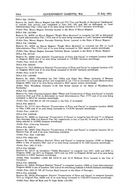
3344 GOVERNMENT GAZETTE, WA [5 July <strong>1991</strong><br />
DOLA File 1370/941<br />
Reserve <strong>No</strong>. 24431 Mount Magnet Lots 368 and 373 "Use and Benefit of Aboriginal Inhabitants"<br />
to exclude that portion now comprised in Lots 553, 554 and 562 as delineated on Land<br />
Administration Plan 17012 and of its area being reduced to 4.7017 hectares accordingly.<br />
Public Plan: Mount Magnet Townsite located in the Shire of Mount Magnet<br />
DOLA File 1337/988<br />
Reserve <strong>No</strong>. 40559 at Mount Magnet "Single Mens Quarters" to comprise Lot 553 as delineated<br />
on Land Administration Plan 17012 and of its area being increased to 1.445 1 hectares accordingly.<br />
Public Plan: Mount Magnet Townsite Priestley Street. Located in the Shire of Mount Magnet<br />
DOLA File 1336/988<br />
Reserve <strong>No</strong>. 40558 at Mount Magnet "Single Mens Quarters" to comprise Lot 552 on Land<br />
Administration Plan 17012 and of its area being increased to 7661 square metres accordingly.<br />
Public Plan: Mount Magnet Townsite Priestley Street. Located in the Shire of Mount Magnet<br />
DOLA File 347 1/67<br />
Reserve <strong>No</strong>. 30299 Avon District "Conservation of Flora and Fauna" to comprise Location 28396<br />
on Diagram 90019 and of its area being increased to 170.8301 hectares accordingly.<br />
Public Plan: 2434-Ill NW<br />
DOLA File 3202/93<br />
Reserve <strong>No</strong>. 7615 Melbourne District "Conservation of Flora and Fauna" to comprise Location 4131<br />
on Diagram 90016 and of its area being increased to 52.4537 hectares accordingly.<br />
Public Plan: 2135-IV N.E.<br />
DOLA File 1107/960<br />
Reserve <strong>No</strong>. 29261 Wyndham Lot 724 "Office and Depot Site Water Authority of Western<br />
Australia" to exclude that portion now comprised in Lot 1743 as surveyed on Land Administration<br />
Diagram 89921 and of its area being reduced to 8547 square metres accordingly.<br />
Public Plan: Wyndham Townsjte 21.08 Ord Street located in the Shire of Wyndham-East<br />
Kimberley<br />
DOLA File 7264/898<br />
Reserve <strong>No</strong>. 5704 Canning Location 3655 "Water and Conservation of Flora and Fauna" to include<br />
Locations 3743 and 3744 as delineated on Land Administration Plan 17777 and of its area being<br />
increased to 205.<strong>87</strong>84 hectares accordingly.<br />
Public Plan: Peel BG 33 10 6.8 located in the City of Armadale<br />
DOLA File 2840/72<br />
Reserve <strong>No</strong>. 31715 Avon District "Conservation of Flora and Fauna" to comprise Location 28462<br />
on Plan 17824 and of its area being increased to 175.8194 hectares accordingly.<br />
Public Plan: 2536-Ill<br />
DOLA File 14633/08<br />
Reserve <strong>No</strong>. 29988 at Jitarning "Conservation of Fauna" to comprise Lots 65 and 77 on Original<br />
Plan Narrogin 2384 and Reserve Plan 341 respectively in lieu of Lots 65, 74 and 75 and of its area<br />
being reduced to 19.9595 hectares accordingly.<br />
Public Plan: Jitarning Townsite<br />
DOLA File 3255/72<br />
Reserve <strong>No</strong>. 33829 Edel District "Conservation of Flora and Fauna" to comprise Location 82 on<br />
Reserve Plan 28 and of its area remaining unaltered.<br />
Public Plan: Edel 1:250 000<br />
DOLA File 10221/904<br />
Reserve <strong>No</strong>. 9648 Williams District "Flora and Fauna" to comprise Location 15798 on Diagram<br />
89884 in lieu of Location 5621 and of its area being increased to 91.1462 hectares accordingly.<br />
Public Plan: 2331-Il SE,<br />
DOLA File 935/968<br />
Reserve <strong>No</strong>. 29173 at Geraldton "Public Recreation" to comprise Lots 2491, 2492 and 2493 on<br />
Diagram 72667, Lot 2571 on Diagram 74970 and Lot 2767 on Diagram 82788 and of its area being<br />
increased to 8.3527 hectares accordingly.<br />
Public Plan: Geraldton 1:2000 BE 43/13.14 and 13.15 Willcock Drive Located in the City of<br />
Geraldton<br />
DOLA File 1959/989<br />
Reserve <strong>No</strong>. 32818 Williams District "Gravel" to comprise Location 15802 on Land Administration<br />
Diagram 90040 in lieu of Location 7243 and of its area being reduced to 9.8435 hectares accordingly.<br />
Public Plan: 2331-TV NE off Contine Road Located in the Shire of Narrogin<br />
DOLA File 2404/966<br />
Reserve <strong>No</strong>. 29128 Plantagenet District "Conservation of Flora and Fauna" to comprise Location<br />
7015 on Original Plan 10336 and of its area being increased to 1162.2672 hectares accordingly.<br />
Public Plan: Haul off Rock and Pt Cape Riche 1:50 000


