Stavanger kommune
Stavanger kommune
Stavanger kommune

You also want an ePaper? Increase the reach of your titles
YUMPU automatically turns print PDFs into web optimized ePapers that Google loves.
technical director and head of building development was<br />
established. A separate building development department<br />
was established in 1916. However, the Town Engineer did<br />
not recommend establishing a separate entity for planning<br />
and surveying until 1931. In 1952 the Council voted to<br />
establish the surveying department as a separate service and<br />
to establish a position of Chief Surveyor.<br />
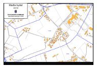
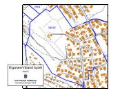
The first series of maps at 1:500 scale was constructed in<br />
the 1950s. They were then photographed as the basis for<br />
maps at 1:1000. In the 1970s, a street name map was created<br />
for use internally within the municipality.<br />
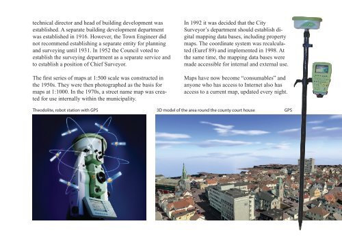
In 1992 it was decided that the City<br />
Surveyor’s department should establish digital<br />
mapping data bases, including property<br />
maps. The coordinate system was recalculated<br />
(Euref 89) and implemented in 1998. At<br />
the same time, the mapping data bases were<br />
made accessible for internal and external use.<br />
Maps have now become “consumables” and<br />
anyone who has access to Internet also has<br />
access to a current map, updated every night.<br />
Theodolite, robot station with GPS 3D model of the area round the county court house GPS