SIBER SPIS sept 2011.pdf - IMBER
SIBER SPIS sept 2011.pdf - IMBER
SIBER SPIS sept 2011.pdf - IMBER

You also want an ePaper? Increase the reach of your titles
YUMPU automatically turns print PDFs into web optimized ePapers that Google loves.
<strong>SIBER</strong><br />
Science Plan and Implementation Strategy<br />
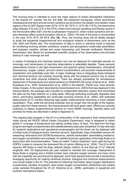
The mooring array is intended to cover the major regions of ocean–atmosphere interaction<br />
in the tropical IO, namely: the AS, the BoB, the equatorial waveguide, where wind-forced<br />
intraseasonal and semi-annual current variations are prominent; the eastern and western index<br />
regions of the IO SST Dipole mode (10°N–10°S, 50–70°E; 0–10°S, 90–110°E); the thermocline<br />
ridge between 5°S and 12°S in the STIO, where wind-induced upwelling and Rossby waves in<br />
the thermocline affect SST; and the southwestern tropical IO, where ocean dynamics and air–<br />
sea interaction affect cyclone formation (Xie et al., 2002). The bulk of the array is concentrated<br />
in the area 15°N–16°S, 55–90°E (Fig. 24). Thus, the mooring array will be ideally situated<br />
to study the equatorial biogeochemical and ecological impacts of phenomena such as the<br />
IOD, MJO and Wyrtki Jets. The transmission of data to shore in real-time mode is required<br />
for monitoring evolving climatic conditions, oceanic and atmospheric model-data assimilation<br />
and analyses, weather, climate and ocean forecasting, and forecast verification. Real-time<br />
transmission also allows for accelerated scientific analysis of the observations and provides<br />
backup in case moorings are lost.<br />
A variety of biological and chemical sensors can now be deployed for extended periods on<br />
moorings, and transmission of real-time observations is potentially feasible. These sensors/<br />
observations include in situ light transmission and spectral optical characteristics, chlorophyll<br />
fluorescence, oxygen, carbon, pH and nutrient concentrations, and acoustic measurements of<br />
zooplankton and potentially even fish. A major challenge here is integrating these biological<br />
and chemical sensors into existing moorings along with the physical sensors due to power<br />
constraints and other physical limitations. There are already precedents for simultaneous<br />
deployment of fluorescence and optical sensors on NOAA/ATLAS buoys (Chavez et al., 2000;<br />
Kuwahara et al., 2003; Subramaniam et al., 2003) in the Atlantic, Pacific and, most recently,<br />
Indian Oceans. In the system described by Subramaniam et al. (2003) that was deployed in the<br />
tropical Atlantic, the package also included an independent telemetry system that transmitted<br />
the data via the Argo network on a daily basis. Although biofouling eventually degrades data<br />
return, anti-fouling capabilities are continually evolving (Chavez et al., 2000), with extended<br />
deployments (6-12 months) featuring high-quality measurements becoming a more realistic<br />
expectation. Thus, while the servicing schedule may be longer than the length of the highestquality<br />
data from these sensors, the measurements still have great value. Efforts are currently<br />
underway to deploy biogeochemical sensors on more RAMA moorings. Specific plans and<br />
priorities for these are described in detail in Appendix IV.<br />
The ongoing Argo program in the IO is a continuation of the exploratory float measurements<br />
made during the WOCE (World Ocean Circulation Experiment). Argo is designed to obtain<br />
global 3° coverage of temperature and salinity profiles every 10 days. The data from the Argo<br />
program are highly complementary with satellite altimetry data (also sampled at 10-day intervals)<br />
for research applications and operational oceanography and the floats can be deployed with<br />
a limited suite of biological and/or chemical sensors. Specifically, Argo-compatible sensors for<br />
measuring chlorophyll and CDOM fluorescence, particle backscatter, downwelling irradiance,<br />
and oxygen concentration are available. An additional proven application of the Argo floats is to<br />
equip them with transmissometers. These so-called “Carbon Explorers” were used during the<br />
SOFEX cruises to measure the downward flux of carbon (Bishop et al., 2004). The IO to 40°S<br />
requires 450 floats to meet the Argo network design criterion of one float per 3°×3° latitude/<br />
longitude, with 125 deployments per year needed to maintain this coverage. Deployment of<br />
these floats is ongoing and a limited number have onboard oxygen sensors, but many more<br />
with this capability can and should be deployed. Such float deployments provide a tremendous<br />
leveraging opportunity for making combined physical, biological and chemical measurements<br />
over broad scales in the IO. The potential for obtaining information about oxygen distributions<br />
is particularly valuable. At present, open ocean oxygen concentration distributions are notably<br />
under sampled throughout the IO (cf. Stramma et al., 2008), particularly in equatorial and<br />
southern hemisphere waters.<br />
59