Highway Slope Manual
Highway Slope Manual
Highway Slope Manual

You also want an ePaper? Increase the reach of your titles
YUMPU automatically turns print PDFs into web optimized ePapers that Google loves.
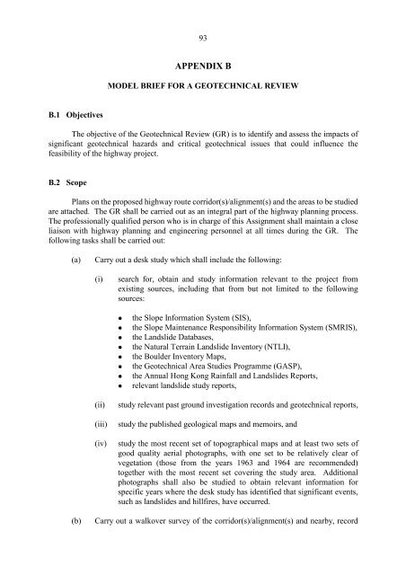
93<br />
APPENDIX B<br />
MODEL BRIEF FOR A GEOTECHNICAL REVIEW<br />
B.l Objectives<br />
The objective of the Geotechnical Review (GR) is to identify and assess the impacts of<br />
significant geotechnical hazards and critical geotechnical issues that could influence the<br />
feasibility of the highway project.<br />
B.2 Scope<br />
Plans on the proposed highway route corridor(s)/alignment(s) and the areas to be studied<br />
are attached. The GR shall be carried out as an integral part of the highway planning process.<br />
The professionally qualified person who is in charge of this Assignment shall maintain a close<br />
liaison with highway planning and engineering personnel at all times during the GR. The<br />
following tasks shall be carried out:<br />
(a)<br />
Carry out a desk study which shall include the following:<br />
(i)<br />
search for, obtain and study information relevant to the project from<br />
existing sources, including that from but not limited to the following<br />
sources:<br />
• the <strong>Slope</strong> 1nformation System (S1S),<br />
• the <strong>Slope</strong> Maintenance Responsibility 1nformation System (SMR1S),<br />
• the Landslide Databases,<br />
• the Natural Terrain Landslide 1nventory (NTL1),<br />
• the Boulder 1nventory Maps,<br />
• the Geotechnical Area Studies Programme (GASP),<br />
• the Annual Hong Kong Rainfall and Landslides Reports,<br />
• relevant landslide study reports,<br />
(ii)<br />
(iii)<br />
(iv)<br />
study relevant past ground investigation records and geotechnical reports,<br />
study the published geological maps and memoirs, and<br />
study the most recent set of topographical maps and at least two sets of<br />
good quality aerial photographs, with one set to be relatively clear of<br />
vegetation (those from the years 1963 and 1964 are recommended)<br />
together with the most recent set covering the study area. Additional<br />
photographs shall also be studied to obtain relevant information for<br />
specific years where the desk study has identified that significant events,<br />
such as landslides and hillfires, have occurred.<br />
(b)<br />
Carry out a walkover survey of the corridor(s)/alignment(s) and nearby, record