

Vascular Plant and Vertebrate Inventory of Saguaro ... - USGS
Vascular Plant and Vertebrate Inventory of Saguaro ... - USGS
Vascular Plant and Vertebrate Inventory of Saguaro ... - USGS

You also want an ePaper? Increase the reach of your titles
YUMPU automatically turns print PDFs into web optimized ePapers that Google loves.
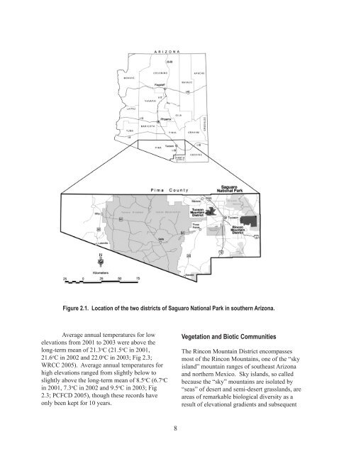
Figure 2.1. Location <strong>of</strong> the two districts <strong>of</strong> <strong>Saguaro</strong> National Park in southern Arizona.<br />
Average annual temperatures for low<br />
elevations from 2001 to 2003 were above the<br />
long-term mean <strong>of</strong> 21.3 o C (21.5 o C in 2001,<br />
21.6 o C in 2002 <strong>and</strong> 22.0 o C in 2003; Fig 2.3;<br />
WRCC 2005). Average annual temperatures for<br />
high elevations ranged from slightly below to<br />
slightly above the long-term mean <strong>of</strong> 8.5 o C (6. o C<br />
in 2001, .3 o C in 2002 <strong>and</strong> 9.5 o C in 2003; Fig<br />
2.3; PCFCD 2005), though these records have<br />
only been kept for 10 years.<br />
8<br />
Vegetation <strong>and</strong> Biotic Communities<br />
The Rincon Mountain District encompasses<br />
most <strong>of</strong> the Rincon Mountains, one <strong>of</strong> the “sky<br />
isl<strong>and</strong>” mountain ranges <strong>of</strong> southeast Arizona<br />
<strong>and</strong> northern Mexico. Sky isl<strong>and</strong>s, so called<br />
because the “sky” mountains are isolated by<br />
“seas” <strong>of</strong> desert <strong>and</strong> semi-desert grassl<strong>and</strong>s, are<br />
areas <strong>of</strong> remarkable biological diversity as a<br />
result <strong>of</strong> elevational gradients <strong>and</strong> subsequent


