Download (2461kB) - University of Greenwich
Download (2461kB) - University of Greenwich
Download (2461kB) - University of Greenwich
- No tags were found...
Create successful ePaper yourself
Turn your PDF publications into a flip-book with our unique Google optimized e-Paper software.
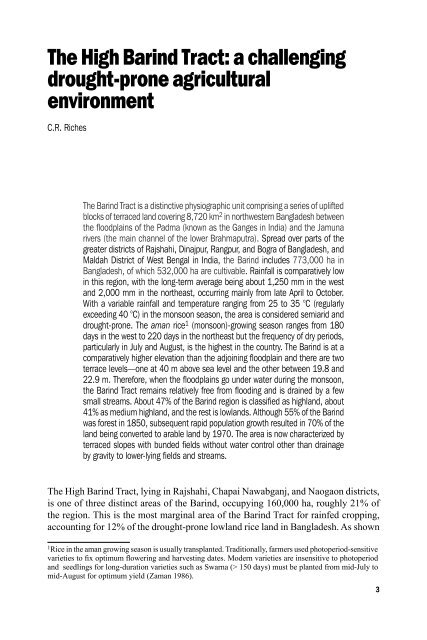
The High Barind Tract: a challengingdrought-prone agriculturalenvironmentC.R. RichesThe Barind Tract is a distinctive physiographic unit comprising a series <strong>of</strong> upliftedblocks <strong>of</strong> terraced land covering 8,720 km 2 in northwestern Bangladesh betweenthe floodplains <strong>of</strong> the Padma (known as the Ganges in India) and the Jamunarivers (the main channel <strong>of</strong> the lower Brahmaputra). Spread over parts <strong>of</strong> thegreater districts <strong>of</strong> Rajshahi, Dinajpur, Rangpur, and Bogra <strong>of</strong> Bangladesh, andMaldah District <strong>of</strong> West Bengal in India, the Barind includes 773,000 ha inBangladesh, <strong>of</strong> which 532,000 ha are cultivable. Rainfall is comparatively lowin this region, with the long-term average being about 1,250 mm in the westand 2,000 mm in the northeast, occurring mainly from late April to October.With a variable rainfall and temperature ranging from 25 to 35 °C (regularlyexceeding 40 °C) in the monsoon season, the area is considered semiarid anddrought-prone. The aman rice 1 (monsoon)-growing season ranges from 180days in the west to 220 days in the northeast but the frequency <strong>of</strong> dry periods,particularly in July and August, is the highest in the country. The Barind is at acomparatively higher elevation than the adjoining floodplain and there are twoterrace levels—one at 40 m above sea level and the other between 19.8 and22.9 m. Therefore, when the floodplains go under water during the monsoon,the Barind Tract remains relatively free from flooding and is drained by a fewsmall streams. About 47% <strong>of</strong> the Barind region is classified as highland, about41% as medium highland, and the rest is lowlands. Although 55% <strong>of</strong> the Barindwas forest in 1850, subsequent rapid population growth resulted in 70% <strong>of</strong> theland being converted to arable land by 1970. The area is now characterized byterraced slopes with bunded fields without water control other than drainageby gravity to lower-lying fields and streams.The High Barind Tract, lying in Rajshahi, Chapai Nawabganj, and Naogaon districts,is one <strong>of</strong> three distinct areas <strong>of</strong> the Barind, occupying 160,000 ha, roughly 21% <strong>of</strong>the region. This is the most marginal area <strong>of</strong> the Barind Tract for rainfed cropping,accounting for 12% <strong>of</strong> the drought-prone lowland rice land in Bangladesh. As shown1 Rice in the aman growing season is usually transplanted. Traditionally, farmers used photoperiod-sensitivevarieties to fix optimum flowering and harvesting dates. Modern varieties are insensitive to photoperiodand seedlings for long-duration varieties such as Swarna (> 150 days) must be planted from mid-July tomid-August for optimum yield (Zaman 1986).


