the Forth Naturalist Historian - Forth Naturalist and Historian ...
the Forth Naturalist Historian - Forth Naturalist and Historian ...
the Forth Naturalist Historian - Forth Naturalist and Historian ...
You also want an ePaper? Increase the reach of your titles
YUMPU automatically turns print PDFs into web optimized ePapers that Google loves.
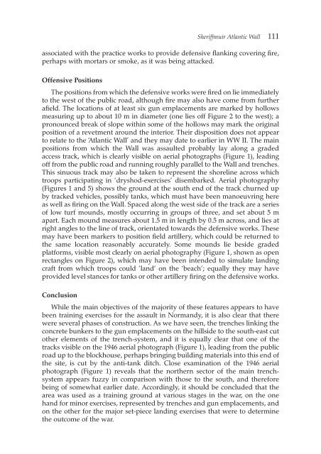
Sheriffmuir Atlantic Wall 111<br />
associated with <strong>the</strong> practice works to provide defensive flanking covering fire,<br />
perhaps with mortars or smoke, as it was being attacked.<br />
Offensive Positions<br />
The positions from which <strong>the</strong> defensive works were fired on lie immediately<br />
to <strong>the</strong> west of <strong>the</strong> public road, although fire may also have come from fur<strong>the</strong>r<br />
afield. The locations of at least six gun emplacements are marked by hollows<br />
measuring up to about 10 m in diameter (one lies off Figure 2 to <strong>the</strong> west); a<br />
pronounced break of slope within some of <strong>the</strong> hollows may mark <strong>the</strong> original<br />
position of a revetment around <strong>the</strong> interior. Their disposition does not appear<br />
to relate to <strong>the</strong> ‘Atlantic Wall’ <strong>and</strong> <strong>the</strong>y may date to earlier in WW II. The main<br />
positions from which <strong>the</strong> Wall was assaulted probably lay along a graded<br />
access track, which is clearly visible on aerial photographs (Figure 1), leading<br />
off from <strong>the</strong> public road <strong>and</strong> running roughly parallel to <strong>the</strong> Wall <strong>and</strong> trenches.<br />
This sinuous track may also be taken to represent <strong>the</strong> shoreline across which<br />
troops participating in ‘dryshod-exercises’ disembarked. Aerial photography<br />
(Figures 1 <strong>and</strong> 5) shows <strong>the</strong> ground at <strong>the</strong> south end of <strong>the</strong> track churned up<br />
by tracked vehicles, possibly tanks, which must have been manoeuvring here<br />
as well as firing on <strong>the</strong> Wall. Spaced along <strong>the</strong> west side of <strong>the</strong> track are a series<br />
of low turf mounds, mostly occurring in groups of three, <strong>and</strong> set about 5 m<br />
apart. Each mound measures about 1.5 m in length by 0.5 m across, <strong>and</strong> lies at<br />
right angles to <strong>the</strong> line of track, orientated towards <strong>the</strong> defensive works. These<br />
may have been markers to position field artillery, which could be returned to<br />
<strong>the</strong> same location reasonably accurately. Some mounds lie beside graded<br />
platforms, visible most clearly on aerial photography (Figure 1, shown as open<br />
rectangles on Figure 2), which may have been intended to simulate l<strong>and</strong>ing<br />
craft from which troops could ‘l<strong>and</strong>’ on <strong>the</strong> ‘beach’; equally <strong>the</strong>y may have<br />
provided level stances for tanks or o<strong>the</strong>r artillery firing on <strong>the</strong> defensive works.<br />
Conclusion<br />
While <strong>the</strong> main objectives of <strong>the</strong> majority of <strong>the</strong>se features appears to have<br />
been training exercises for <strong>the</strong> assault in Norm<strong>and</strong>y, it is also clear that <strong>the</strong>re<br />
were several phases of construction. As we have seen, <strong>the</strong> trenches linking <strong>the</strong><br />
concrete bunkers to <strong>the</strong> gun emplacements on <strong>the</strong> hillside to <strong>the</strong> south-east cut<br />
o<strong>the</strong>r elements of <strong>the</strong> trench-system, <strong>and</strong> it is equally clear that one of <strong>the</strong><br />
tracks visible on <strong>the</strong> 1946 aerial photograph (Figure 1), leading from <strong>the</strong> public<br />
road up to <strong>the</strong> blockhouse, perhaps bringing building materials into this end of<br />
<strong>the</strong> site, is cut by <strong>the</strong> anti-tank ditch. Close examination of <strong>the</strong> 1946 aerial<br />
photograph (Figure 1) reveals that <strong>the</strong> nor<strong>the</strong>rn sector of <strong>the</strong> main trenchsystem<br />
appears fuzzy in comparison with those to <strong>the</strong> south, <strong>and</strong> <strong>the</strong>refore<br />
being of somewhat earlier date. Accordingly, it should be concluded that <strong>the</strong><br />
area was used as a training ground at various stages in <strong>the</strong> war, on <strong>the</strong> one<br />
h<strong>and</strong> for minor exercises, represented by trenches <strong>and</strong> gun emplacements, <strong>and</strong><br />
on <strong>the</strong> o<strong>the</strong>r for <strong>the</strong> major set-piece l<strong>and</strong>ing exercises that were to determine<br />
<strong>the</strong> outcome of <strong>the</strong> war.


