annual edition - 2011 - Indian Naval Hydrographic Department
annual edition - 2011 - Indian Naval Hydrographic Department
annual edition - 2011 - Indian Naval Hydrographic Department
You also want an ePaper? Increase the reach of your titles
YUMPU automatically turns print PDFs into web optimized ePapers that Google loves.
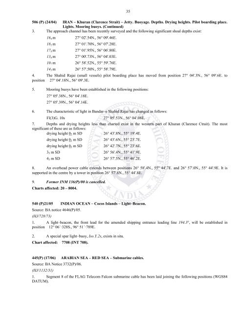
35506 (P) (24/04) IRAN – Khuran (Clarence Strait) – Jetty. Buoyage. Depths. Drying heights. Pilot boarding place.Lights. Mooring buoys. (Continued)3. The approach channel has been recently surveyed and the following significant shoal depths exist:16 4 m 27 02'.54N., 56 09'.46E.18 2 m 27 01'.70N., 56 07'.28E.17 8 m 27 01'.95N., 56 06'.80E.13 4 m 27 00'.73N., 56 04'.03E.10 7 m 26 58'.52N., 55 59'.76E.14 5 m 26 57'.50N., 55 58'.79E.4. The Shahid Rajai (small vessels) pilot boarding place has moved from position 27 04'.3N., 56 09'.6E. toposition 27 04'.18N., 56 09'.3E.5. Mooring buoys have been established in the following positions:27 05'.38N., 56 04'.18E.27 05'.39N., 56 04'.14E.6. The characteristic of light in Bandar–e Shahid Rajai has changed as follows:Fl(3)G. 10s27 05'.53N., 56 04'.08E.7. Depths and drying heights less than charted exist in the western part of Khuran (Clarence Ctrait). The mostsignificant of these are as follows:drying height 0 2 m SD26 43'.8N., 55 19'.4E.drying height 0 2 m SD26 43'.6N., 55 23'.7E.drying height 0 2 m SD26 42'.7N., 55 23'.6E.3 5 m SD 26 56'.4N., 55 41'.9E.4 3 m SD 26 57'.5N., 55 46'.2E.8. An overhead power cable extends between positions 26 58'.4N., 55 44'.7E. and 26 57'.0N., 55 44'.9E. It issupported in the centre by a tower in position 26 57'.8N., 55 44'.8E.9. Former INM 136(P)/00 is cancelled.Charts affected: 20 – 8004.540 (P)21/05 INDIAN OCEAN – Cocos Islands – Light–Beacon.Source: BA notice 4646(P)/05.(HJ/728/73)1. A light–beacon, the front lead for the amended shipping entrance leading line 194.3°, will be established inposition 12° 06´·328S., 96° 51´·789E.2. A special spar light–buoy, Iso.Y.2s, exists in situ.Chart affected: 7708 (INT 708).445(P) (17/06) ARABIAN SEA – RED SEA – Submarine cables.Source: BA Notice 3732(P)/06.(HJ/1132/31)1. Segment 8 of the FLAG Telecom Falcon submarine cable has been laid joining the following positions (WGS84DATUM).


