annual edition - 2011 - Indian Naval Hydrographic Department
annual edition - 2011 - Indian Naval Hydrographic Department
annual edition - 2011 - Indian Naval Hydrographic Department
You also want an ePaper? Increase the reach of your titles
YUMPU automatically turns print PDFs into web optimized ePapers that Google loves.
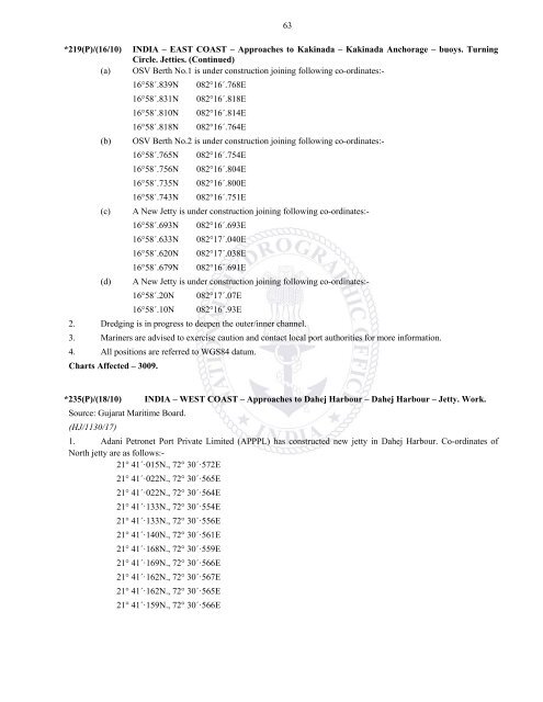
*219(P)/(16/10)(a)(b)(c)(d)63INDIA – EAST COAST – Approaches to Kakinada – Kakinada Anchorage – buoys. TurningCircle. Jetties. (Continued)OSV Berth No.1 is under construction joining following co-ordinates:-16°58´.839N 082°16´.768E16°58´.831N 082°16´.818E16°58´.810N 082°16´.814E16°58´.818N 082°16´.764EOSV Berth No.2 is under construction joining following co-ordinates:-16°58´.765N 082°16´.754E16°58´.756N 082°16´.804E16°58´.735N 082°16´.800E16°58´.743N 082°16´.751EA New Jetty is under construction joining following co-ordinates:-16°58´.693N 082°16´.693E16°58´.633N 082°17´.040E16°58´.620N 082°17´.038E16°58´.679N 082°16´.691EA New Jetty is under construction joining following co-ordinates:-16°58´.20N 082°17´.07E16°58´.10N 082°16´.93E2. Dredging is in progress to deepen the outer/inner channel.3. Mariners are advised to exercise caution and contact local port authorities for more information.4. All positions are referred to WGS84 datum.Charts Affected – 3009.*235(P)/(18/10) INDIA – WEST COAST – Approaches to Dahej Harbour – Dahej Harbour – Jetty. Work.Source: Gujarat Maritime Board.(HJ/1130/17)1. Adani Petronet Port Private Limited (APPPL) has constructed new jetty in Dahej Harbour. Co-ordinates ofNorth jetty are as follows:-21° 41´·015N., 72° 30´·572E21° 41´·022N., 72° 30´·565E21° 41´·022N., 72° 30´·564E21° 41´·133N., 72° 30´·554E21° 41´·133N., 72° 30´·556E21° 41´·140N., 72° 30´·561E21° 41´·168N., 72° 30´·559E21° 41´·169N., 72° 30´·566E21° 41´·162N., 72° 30´·567E21° 41´·162N., 72° 30´·565E21° 41´·159N., 72° 30´·566E


