annual edition - 2011 - Indian Naval Hydrographic Department
annual edition - 2011 - Indian Naval Hydrographic Department
annual edition - 2011 - Indian Naval Hydrographic Department
You also want an ePaper? Increase the reach of your titles
YUMPU automatically turns print PDFs into web optimized ePapers that Google loves.
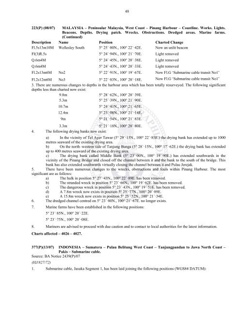
48223(P) (08/07) MALAYSIA – Peninsular Malaysia, West Coast – Pinang Harbour – Coastline. Works. Lights.Beacons. Depths. Drying patch. Wrecks. Obstructions. Dredged areas. Marine farms.(Continued)Description Name Position Charted ChangeFl.5s13m10M Wellesley South 5° 25´·80N., 100° 22´·42E. Now an unlit beaconFl(3)R.5s 5° 24´·94N., 100° 21´·70E. Light removedQ.6m4M 5° 24´·45N., 100° 20´·38E. Light removedQ.6m4M 5° 24´·43N., 100° 20´·33E. Light removedFl.2s13m6M No2 5° 22´·91N., 100° 19´·67E. Now Fl.G ‘Submarine cable transit No1’Fl.2s12m6M No3 5° 22´·83N., 100° 20´·18E. Now Fl.G ‘Submarine cable transit No1’3. There are numerous changes to depths in the harbour area which has been totally resurveyed. The following significantdepths less than charted now exist:9.8m 5° 28´·62N., 100° 20´·39E.5.3m 5° 25´·39N., 100° 21´·90E.10.7m 5° 24´·41N., 100° 21´·65E.12.4m 5° 23´·08N., 100° 21´·14E.9m5° 21´·54N., 100° 21´·83E.3.3m 5° 21´·18N., 100° 20´·80E.4. The following drying banks now exist:a) In the vicinity of Tel Ayer Tawar (5° 29´·15N., 100° 22´·85E.) the drying bank has extended up to 1000metres seaward of the existing drying area.b) On the north–western side of Tanjung Bunga (5° 28´·15N., 100° 17´·62E.) the drying bank has extendedup to 400 metres seaward of the existing drying area.c) The drying bank called Middle Bank (5° 23´·00N., 100° 19´·90E.) has extended southwards in thevicinity of the Pinang Bridge and closed off the channel between it and the bank to the south of the bridge. Thisbank has also extended southwards virtually closing the channel between it and Pulau Jerejak.5. There have been numerous changes to the wrecks, obstructions and fouls within Pinang Harbour. The mostsignificant are as follows:a) The hulk in position 5° 27´·43N., 100° 22´·89E. has been removed.b) The stranded wreck in position 5° 23´·66N., 100° 19´·62E. has been removed.c) The dangerous wreck in position 5° 23´·43N., 100° 19´·51E. has been removed.d) A 7.8m wreck now exists in position 5° 25´·77N., 100° 20´·89E.e) A 15.8m wreck now exists in position 5° 25´·52N., 100° 21´·34E.6. The dredged channel centred on 5° 23´·80N., 100° 21´·67E. no longer exists.7. Marine farms have been established in the following positions:5° 23´·85N., 100° 20´·22E.5° 23´·75N., 100° 20´·08E.8. Mariners are advised to proceed with due caution and to contact to local authorities for the latest information.Charts affected – 4026 – 4027.377(P)(13/07) INDONESIA – Sumatera – Pulau Belitung West Coast – Tanjungpandan to Jawa North Coast –Pakis – Submarine cable.Source: BA Notice 2439(P)/07(HJ/827/72)1. Submarine cable, Jasuka Segment 1, has been laid joining the following positions (WGS84 DATUM):


